

Italy2020 E33
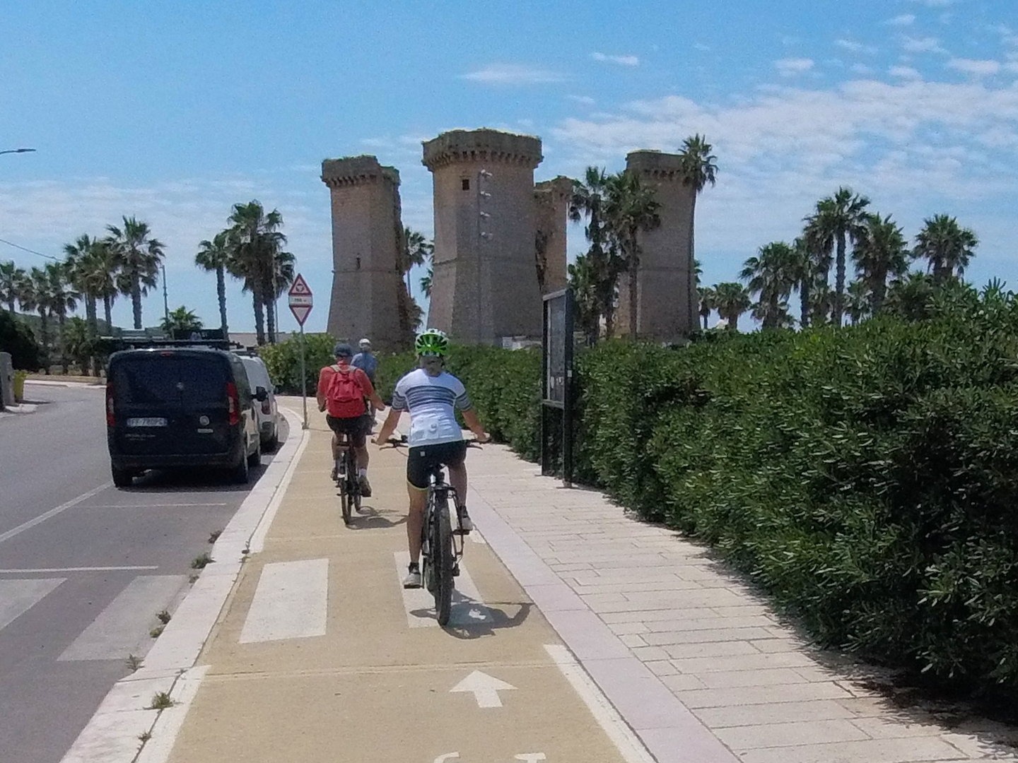
A cycling route starting in Nardò, Apulia, Italy.
Overview
About this route
Santa Caterina - Otranto 53 Km
- -:--
- Duration
- 53.4 km
- Distance
- 150 m
- Ascent
- 142 m
- Descent
- ---
- Avg. speed
- ---
- Max. altitude

Continue with Bikemap
Use, edit, or download this cycling route
You would like to ride Italy2020 E33 or customize it for your own trip? Here is what you can do with this Bikemap route:
Free features
- Save this route as favorite or in collections
- Copy & plan your own version of this route
- Sync your route with Garmin or Wahoo
Premium features
Free trial for 3 days, or one-time payment. More about Bikemap Premium.
- Navigate this route on iOS & Android
- Export a GPX / KML file of this route
- Create your custom printout (try it for free)
- Download this route for offline navigation
Discover more Premium features.
Get Bikemap PremiumFrom our community
Other popular routes starting in Nardò
 Nardò- Gallipoli
- Distance
- 51.3 km
- Ascent
- 292 m
- Descent
- 289 m
- Location
- Nardò, Apulia, Italy
 Safe round trip in Nardò
- Distance
- 27.1 km
- Ascent
- 96 m
- Descent
- 98 m
- Location
- Nardò, Apulia, Italy
 Giro ad anello Nardò- Gallipoli
- Distance
- 52 km
- Ascent
- 206 m
- Descent
- 202 m
- Location
- Nardò, Apulia, Italy
 Da Via A. Mellone 36, Nardò a Via A. Mellone 4, Nardò
- Distance
- 26.9 km
- Ascent
- 241 m
- Descent
- 243 m
- Location
- Nardò, Apulia, Italy
 GIRO EST
- Distance
- 137.9 km
- Ascent
- 293 m
- Descent
- 293 m
- Location
- Nardò, Apulia, Italy
 Trekking 23
- Distance
- 23 km
- Ascent
- 53 m
- Descent
- 56 m
- Location
- Nardò, Apulia, Italy
 Italy2020 E33
- Distance
- 53.4 km
- Ascent
- 150 m
- Descent
- 142 m
- Location
- Nardò, Apulia, Italy
 Da Via Filiberto 28, Nardò a Via Emanuele Filiberto 78, Nardò
- Distance
- 37.5 km
- Ascent
- 879 m
- Descent
- 872 m
- Location
- Nardò, Apulia, Italy
Open it in the app