

Tre giorni Umbri
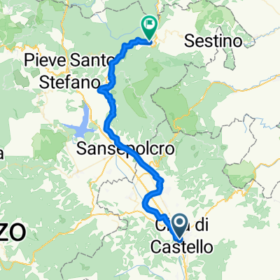
A cycling route starting in Città di Castello, Umbria, Italy.
Overview
About this route
170 km of range from Castelluccio to Nocera Umbra
140 km of range from Gubbio to Castello
- -:--
- Duration
- 873 km
- Distance
- 6,653 m
- Ascent
- 6,653 m
- Descent
- ---
- Avg. speed
- ---
- Max. altitude

Route quality
Waytypes & surfaces along the route
Waytypes
Track
480.1 km
(55 %)
Quiet road
192.1 km
(22 %)
Surfaces
Paved
130.9 km
(15 %)
Unpaved
462.7 km
(53 %)
Gravel
296.8 km
(34 %)
Asphalt
122.2 km
(14 %)
Continue with Bikemap
Use, edit, or download this cycling route
You would like to ride Tre giorni Umbri or customize it for your own trip? Here is what you can do with this Bikemap route:
Free features
- Save this route as favorite or in collections
- Copy & plan your own version of this route
- Split it into stages to create a multi-day tour
- Sync your route with Garmin or Wahoo
Premium features
Free trial for 3 days, or one-time payment. More about Bikemap Premium.
- Navigate this route on iOS & Android
- Export a GPX / KML file of this route
- Create your custom printout (try it for free)
- Download this route for offline navigation
Discover more Premium features.
Get Bikemap PremiumFrom our community
Other popular routes starting in Città di Castello
 Citta di Castello - Bevagna
- Distance
- 198.1 km
- Ascent
- 2,180 m
- Descent
- 2,268 m
- Location
- Città di Castello, Umbria, Italy
 Giro dell'Umbria - Città di Castello/Montefalco
- Distance
- 107.1 km
- Ascent
- 517 m
- Descent
- 366 m
- Location
- Città di Castello, Umbria, Italy
 2018 Assisi 7. dan (Citta di Castello - Assisi)
- Distance
- 65.7 km
- Ascent
- 338 m
- Descent
- 337 m
- Location
- Città di Castello, Umbria, Italy
 Rando Umbria Nord - Randonnée di Città di Castello 200 km (ufficiale)
- Distance
- 208.5 km
- Ascent
- 1,897 m
- Descent
- 1,912 m
- Location
- Città di Castello, Umbria, Italy
 GF Alto Tevere Umbro percorso lungo
- Distance
- 126.7 km
- Ascent
- 1,042 m
- Descent
- 1,041 m
- Location
- Città di Castello, Umbria, Italy
 RANDO UMBRIA NORD 120 KM - UFFICIALE
- Distance
- 117 km
- Ascent
- 865 m
- Descent
- 880 m
- Location
- Città di Castello, Umbria, Italy
 Italy Day 9, 48/730, Citta di Castello - Badia Tedalda
- Distance
- 48.2 km
- Ascent
- 772 m
- Descent
- 353 m
- Location
- Città di Castello, Umbria, Italy
 Tre giorni Umbri
- Distance
- 873 km
- Ascent
- 6,653 m
- Descent
- 6,653 m
- Location
- Città di Castello, Umbria, Italy
Open it in the app