

Segre-en-Anjou-Bleu to Martine-Ferchaud
A cycling route starting in Noyant-la-Gravoyère, Pays de la Loire Region, France.
Overview
About this route
- -:--
- Duration
- 44.8 km
- Distance
- 273 m
- Ascent
- 230 m
- Descent
- ---
- Avg. speed
- 104 m
- Max. altitude

Route quality
Waytypes & surfaces along the route
Waytypes
Road
24.2 km
(54 %)
Quiet road
13 km
(29 %)
Surfaces
Paved
7.2 km
(16 %)
Unpaved
6.3 km
(14 %)
Asphalt
7.2 km
(16 %)
Loose gravel
6.3 km
(14 %)
Undefined
31.3 km
(70 %)
Continue with Bikemap
Use, edit, or download this cycling route
You would like to ride Segre-en-Anjou-Bleu to Martine-Ferchaud or customize it for your own trip? Here is what you can do with this Bikemap route:
Free features
- Save this route as favorite or in collections
- Copy & plan your own version of this route
- Sync your route with Garmin or Wahoo
Premium features
Free trial for 3 days, or one-time payment. More about Bikemap Premium.
- Navigate this route on iOS & Android
- Export a GPX / KML file of this route
- Create your custom printout (try it for free)
- Download this route for offline navigation
Discover more Premium features.
Get Bikemap PremiumFrom our community
Other popular routes starting in Noyant-la-Gravoyère
 Segre-en-Anjou-Bleu to Martine-Ferchaud
- Distance
- 44.8 km
- Ascent
- 273 m
- Descent
- 230 m
- Location
- Noyant-la-Gravoyère, Pays de la Loire Region, France
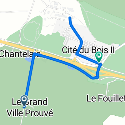 De Le Grand Villeprouve à Voie Parallèle
- Distance
- 3 km
- Ascent
- 28 m
- Descent
- 25 m
- Location
- Noyant-la-Gravoyère, Pays de la Loire Region, France
 De La Lande 201, Ombrée d'Anjou à Rue du Flucas 20, Segré-en-Anjou Bleu
- Distance
- 16.7 km
- Ascent
- 123 m
- Descent
- 164 m
- Location
- Noyant-la-Gravoyère, Pays de la Loire Region, France
Open it in the app