

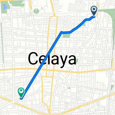
Ruta relajada en Celaya
A cycling route starting in Celaya, Guanajuato, Mexico.
Overview
About this route
0
- 28 min
- Duration
- 6 km
- Distance
- 39 m
- Ascent
- 42 m
- Descent
- 12.7 km/h
- Avg. speed
- ---
- Max. altitude
Luis Cardoso Cuellar
created this 6 years ago
Continue with Bikemap
Use, edit, or download this cycling route
You would like to ride Ruta relajada en Celaya or customize it for your own trip? Here is what you can do with this Bikemap route:
Free features
- Save this route as favorite or in collections
- Copy & plan your own version of this route
- Sync your route with Garmin or Wahoo
Premium features
Free trial for 3 days, or one-time payment. More about Bikemap Premium.
- Navigate this route on iOS & Android
- Export a GPX / KML file of this route
- Create your custom printout (try it for free)
- Download this route for offline navigation
Discover more Premium features.
Get Bikemap PremiumFrom our community
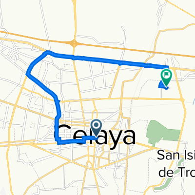
Other popular routes starting in Celaya
- De Avenida Constituyentes 100, Celaya a General Ignacio Allende 540A, Celaya0
- 10.4 km
- 79 m
- 77 m
- Celaya, Guanajuato, Mexico
- Guillermo Prieto 809, Celaya to José Rosas Moreno SN-S, Celaya0
- 2.9 km
- 0 m
- 4 m
- Celaya, Guanajuato, Mexico
- Calle José María Morelos 102C, Celaya a Calle Palmira 201A, Celaya0
- 13.3 km
- 270 m
- 271 m
- Celaya, Guanajuato, Mexico


Open it in the app