2013-07-16: Vaison-la-Romaine - Gap
- 130.8 km
- 1,552 m
- 1,024 m
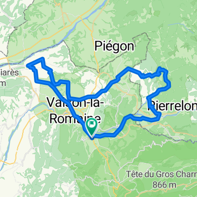
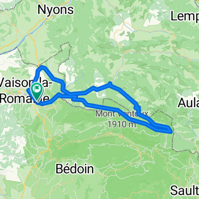
- Vaison-la-Romaine, Provence-Alpes-Côte d'Azur Region, France
CevennenAlpenTour2022
A cycling route starting in Vaison-la-Romaine, Provence-Alpes-Côte d'Azur Region, France.
Overview
Stage 5-7 from Vaison-la-Romaine to Serres July 7, 2022
Hotel Fifi Moulin
15 Rue Raymond Varenfrin,
05700 Serres, France
0033 4 92 67 00 01
created this 6 years ago
Part of
8 stages
Route quality
Road
33.4 km
(26 %)
Quiet road
7.7 km
(6 %)
Paved
93.7 km
(73 %)
Unpaved
2.6 km
(2 %)
Asphalt
93.7 km
(73 %)
Gravel
2.6 km
(2 %)
Undefined
32.1 km
(25 %)
Continue with Bikemap
You would like to ride CevennenAlpenTour2022_E5_Alternative or customize it for your own trip? Here is what you can do with this Bikemap route:
Free trial for 3 days, or one-time payment. More about Bikemap Premium.
Discover more Premium features.
Get Bikemap PremiumFrom our community
Open it in the app