

CL-GW2010 CLONED FROM ROUTE 485093
A cycling route starting in Poperinge, Flemish Region, Belgium.
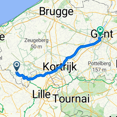
Overview
About this route
01-Mont Cassel (P)
02-Mont du Samyn
03-Mont Cassel 2 (P)
04-Mont des Cats
05-Mont Kokereel
06-Mont Noir
07-Baneberg (!! sens interdit !!)
08-Rodeberg
09-Monteberg
10-Kemmelberg (P)
11-Scherpenberg
- -:--
- Duration
- 82 km
- Distance
- 651 m
- Ascent
- 655 m
- Descent
- ---
- Avg. speed
- ---
- Max. altitude
Route quality
Waytypes & surfaces along the route
Waytypes
Quiet road
27.9 km
(34 %)
Road
21.3 km
(26 %)
Surfaces
Paved
64.8 km
(79 %)
Asphalt
63.1 km
(77 %)
Concrete
1.6 km
(2 %)
Undefined
17.2 km
(21 %)
Continue with Bikemap
Use, edit, or download this cycling route
You would like to ride CL-GW2010 CLONED FROM ROUTE 485093 or customize it for your own trip? Here is what you can do with this Bikemap route:
Free features
- Save this route as favorite or in collections
- Copy & plan your own version of this route
- Split it into stages to create a multi-day tour
- Sync your route with Garmin or Wahoo
Premium features
Free trial for 3 days, or one-time payment. More about Bikemap Premium.
- Navigate this route on iOS & Android
- Export a GPX / KML file of this route
- Create your custom printout (try it for free)
- Download this route for offline navigation
Discover more Premium features.
Get Bikemap PremiumFrom our community
Other popular routes starting in Poperinge
 2023-07-28 St Jan t Biezen - Watou
- Distance
- 5.1 km
- Ascent
- 4 m
- Descent
- 21 m
- Location
- Poperinge, Flemish Region, Belgium
 roesbrugge - de vierpot - 52
- Distance
- 52 km
- Ascent
- 193 m
- Descent
- 191 m
- Location
- Poperinge, Flemish Region, Belgium
 hof van commerce - 41.3
- Distance
- 41.3 km
- Ascent
- 70 m
- Descent
- 68 m
- Location
- Poperinge, Flemish Region, Belgium
 CL-GW2010 CLONED FROM ROUTE 485093
- Distance
- 82 km
- Ascent
- 651 m
- Descent
- 655 m
- Location
- Poperinge, Flemish Region, Belgium
 Petruswegel naar Koning Albertlaan
- Distance
- 90.2 km
- Ascent
- 227 m
- Descent
- 286 m
- Location
- Poperinge, Flemish Region, Belgium
 Watou- Veurne BenB 61 km
- Distance
- 60.8 km
- Ascent
- 43 m
- Descent
- 57 m
- Location
- Poperinge, Flemish Region, Belgium
 2024-07-28 Watou - Ieper
- Distance
- 23.2 km
- Ascent
- 87 m
- Descent
- 83 m
- Location
- Poperinge, Flemish Region, Belgium
 La Motte
- Distance
- 102 km
- Ascent
- 261 m
- Descent
- 261 m
- Location
- Poperinge, Flemish Region, Belgium
Open it in the app