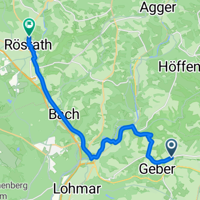
Täler und Höhen 111 km
A cycling route starting in Lohmar, North Rhine-Westphalia, Germany.
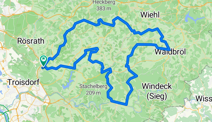
Overview
About this route
RTF Valleys and Heights 111 km 3 classification points
- -:--
- Duration
- 112.1 km
- Distance
- 882 m
- Ascent
- 882 m
- Descent
- ---
- Avg. speed
- ---
- Max. altitude
Route quality
Waytypes & surfaces along the route
Waytypes
Quiet road
22.4 km
(20 %)
Road
14.6 km
(13 %)
Surfaces
Paved
83 km
(74 %)
Unpaved
1.1 km
(1 %)
Asphalt
79.6 km
(71 %)
Paved (undefined)
3.4 km
(3 %)
Continue with Bikemap
Use, edit, or download this cycling route
You would like to ride Täler und Höhen 111 km or customize it for your own trip? Here is what you can do with this Bikemap route:
Free features
- Save this route as favorite or in collections
- Copy & plan your own version of this route
- Split it into stages to create a multi-day tour
- Sync your route with Garmin or Wahoo
Premium features
Free trial for 3 days, or one-time payment. More about Bikemap Premium.
- Navigate this route on iOS & Android
- Export a GPX / KML file of this route
- Create your custom printout (try it for free)
- Download this route for offline navigation
Discover more Premium features.
Get Bikemap PremiumFrom our community
Other popular routes starting in Lohmar
Täler und Höhen 151- Distance
- 153.8 km
- Ascent
- 1,051 m
- Descent
- 1,053 m
- Location
- Lohmar, North Rhine-Westphalia, Germany
Täler und Höhen 45- Distance
- 48.9 km
- Ascent
- 410 m
- Descent
- 408 m
- Location
- Lohmar, North Rhine-Westphalia, Germany
Lohmar - Overath- Distance
- 41.9 km
- Ascent
- 505 m
- Descent
- 505 m
- Location
- Lohmar, North Rhine-Westphalia, Germany
Täler und Höhen- Distance
- 99.6 km
- Ascent
- 865 m
- Descent
- 863 m
- Location
- Lohmar, North Rhine-Westphalia, Germany
Wahnbachtalsperre Albach - Albach gefahren- Distance
- 28.1 km
- Ascent
- 371 m
- Descent
- 354 m
- Location
- Lohmar, North Rhine-Westphalia, Germany
modifizierte Permanente des RTV Lohmar- Distance
- 67.6 km
- Ascent
- 549 m
- Descent
- 549 m
- Location
- Lohmar, North Rhine-Westphalia, Germany
Lohmar -Waldbröl-Lohmar: hintenrum- Distance
- 102.8 km
- Ascent
- 1,288 m
- Descent
- 1,229 m
- Location
- Lohmar, North Rhine-Westphalia, Germany
kleine Runde Heide- Distance
- 23.4 km
- Ascent
- 210 m
- Descent
- 210 m
- Location
- Lohmar, North Rhine-Westphalia, Germany
Open it in the app

