

Relaxed route in Kecamatan Kendal
A cycling route starting in Kendal, Central Java, Indonesia.
Overview
About this route
- 2 h 34 min
- Duration
- 45.1 km
- Distance
- 569 m
- Ascent
- 568 m
- Descent
- 17.6 km/h
- Avg. speed
- ---
- Max. altitude

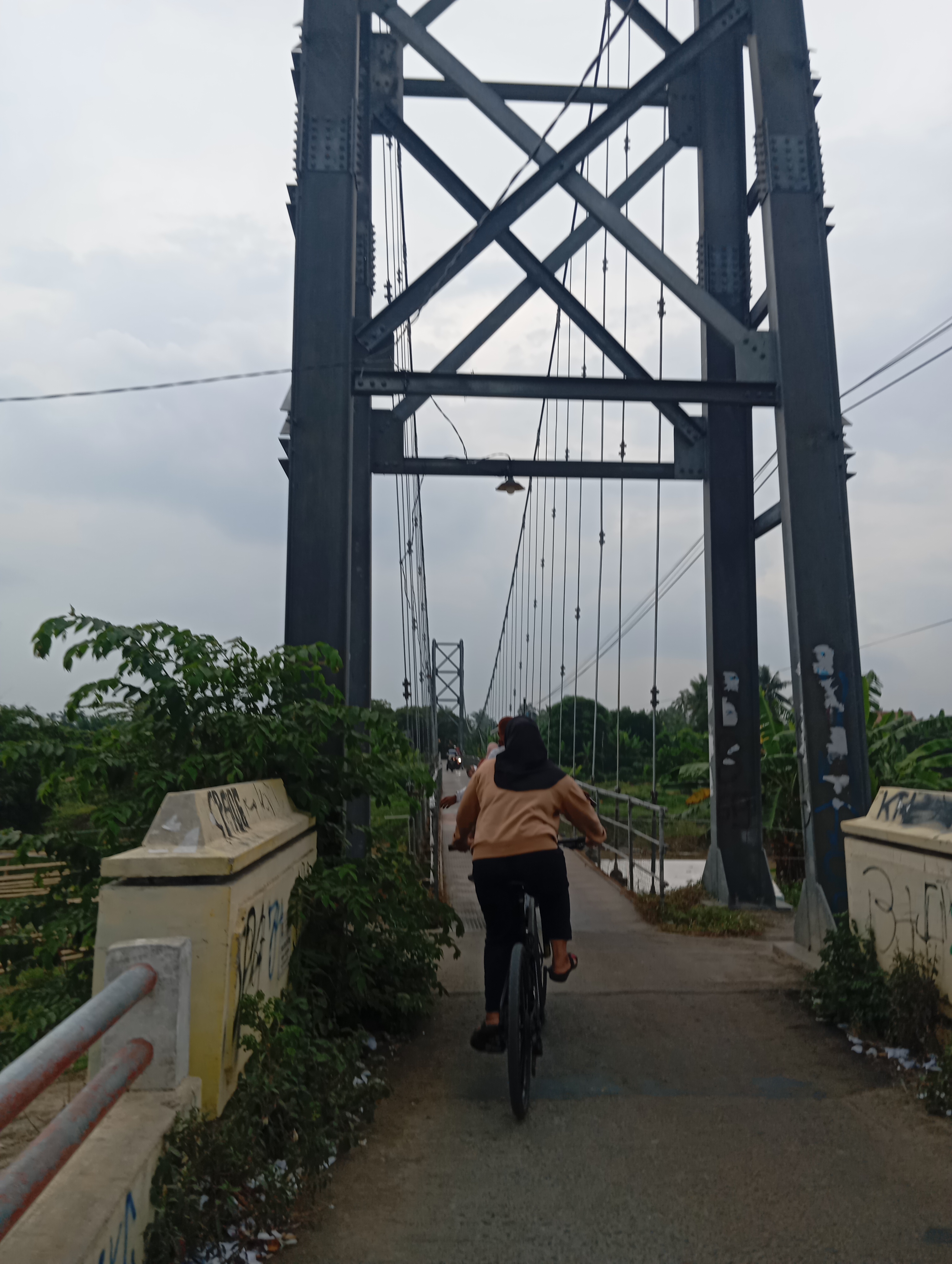
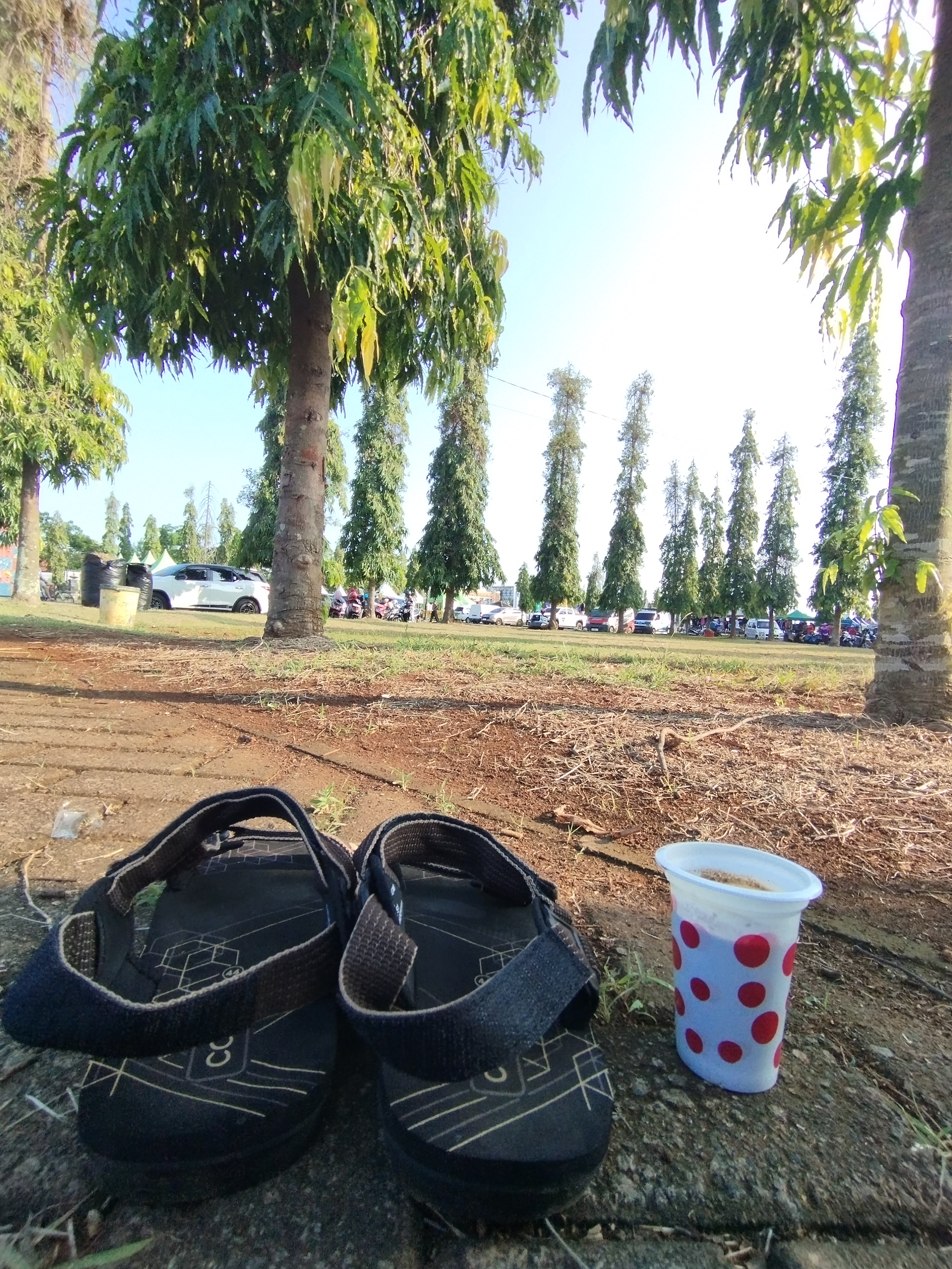
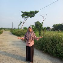
Route photos


Route quality
Waytypes & surfaces along the route
Waytypes
Quiet road
25.2 km
(56 %)
Road
9.9 km
(22 %)
Surfaces
Paved
7.7 km
(17 %)
Unpaved
3.2 km
(7 %)
Asphalt
6.8 km
(15 %)
Unpaved (undefined)
3.2 km
(7 %)
Continue with Bikemap
Use, edit, or download this cycling route
You would like to ride Relaxed route in Kecamatan Kendal or customize it for your own trip? Here is what you can do with this Bikemap route:
Free features
- Save this route as favorite or in collections
- Copy & plan your own version of this route
- Sync your route with Garmin or Wahoo
Premium features
Free trial for 3 days, or one-time payment. More about Bikemap Premium.
- Navigate this route on iOS & Android
- Export a GPX / KML file of this route
- Create your custom printout (try it for free)
- Download this route for offline navigation
Discover more Premium features.
Get Bikemap PremiumFrom our community
Other popular routes starting in Kendal
 gowes sore mbak depi
- Distance
- 21.2 km
- Ascent
- 202 m
- Descent
- 217 m
- Location
- Kendal, Central Java, Indonesia
 minggu pagi
- Distance
- 19.9 km
- Ascent
- 99 m
- Descent
- 115 m
- Location
- Kendal, Central Java, Indonesia
 stadion
- Distance
- 10.6 km
- Ascent
- 13 m
- Descent
- 46 m
- Location
- Kendal, Central Java, Indonesia
 uphill x downhill x flat hill kaliwungu to mangkang to kaliwungu
- Distance
- 20.4 km
- Ascent
- 388 m
- Descent
- 408 m
- Location
- Kendal, Central Java, Indonesia
 kendal Sumuk
- Distance
- 4 km
- Ascent
- 56 m
- Descent
- 44 m
- Location
- Kendal, Central Java, Indonesia
 Jalan Lanji to Jalan Lanji
- Distance
- 25.2 km
- Ascent
- 40 m
- Descent
- 41 m
- Location
- Kendal, Central Java, Indonesia
 Route to stadion
- Distance
- 1.5 km
- Ascent
- 3 m
- Descent
- 0 m
- Location
- Kendal, Central Java, Indonesia
 naik turun gunung
- Distance
- 28.1 km
- Ascent
- 551 m
- Descent
- 267 m
- Location
- Kendal, Central Java, Indonesia
Open it in the app