
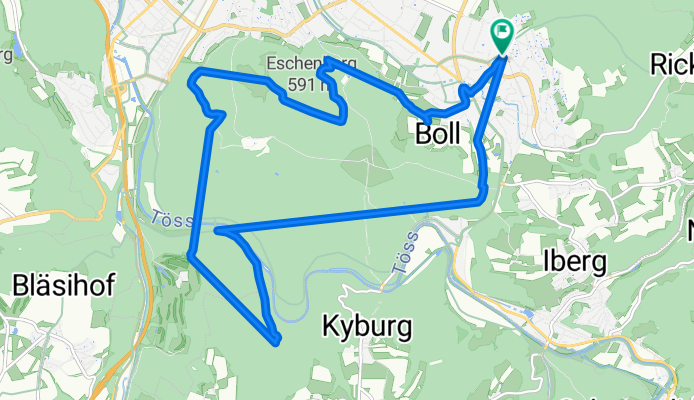
Bahnhof Seen rund Eschenberg
A cycling route starting in Seen (Kreis 3) / Büelwiesen, Canton of Zurich, Switzerland.
Overview
About this route
- 1 h 55 min
- Duration
- 16.9 km
- Distance
- 333 m
- Ascent
- 336 m
- Descent
- 8.8 km/h
- Avg. speed
- ---
- Max. altitude

Route photos

Continue with Bikemap
Use, edit, or download this cycling route
You would like to ride Bahnhof Seen rund Eschenberg or customize it for your own trip? Here is what you can do with this Bikemap route:
Free features
- Save this route as favorite or in collections
- Copy & plan your own version of this route
- Sync your route with Garmin or Wahoo
Premium features
Free trial for 3 days, or one-time payment. More about Bikemap Premium.
- Navigate this route on iOS & Android
- Export a GPX / KML file of this route
- Create your custom printout (try it for free)
- Download this route for offline navigation
Discover more Premium features.
Get Bikemap PremiumFrom our community
Other popular routes starting in Seen (Kreis 3) / Büelwiesen
 Stockemerbergstrasse 1, Winterthur nach Stockemerbergstrasse 1, Winterthur
- Distance
- 0 km
- Ascent
- 0 m
- Descent
- 0 m
- Location
- Seen (Kreis 3) / Büelwiesen, Canton of Zurich, Switzerland
 Landvogt-Waser-Strasse 66, Winterthur nach Tösstalstrasse 224B, Winterthur
- Distance
- 43.5 km
- Ascent
- 388 m
- Descent
- 397 m
- Location
- Seen (Kreis 3) / Büelwiesen, Canton of Zurich, Switzerland
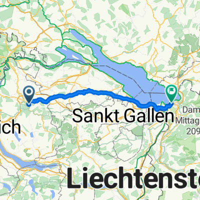
 Seen-RundFlugahfen-Seen😉
- Distance
- 55.3 km
- Ascent
- 739 m
- Descent
- 743 m
- Location
- Seen (Kreis 3) / Büelwiesen, Canton of Zurich, Switzerland
 Töss 8
- Distance
- 45.5 km
- Ascent
- 864 m
- Descent
- 864 m
- Location
- Seen (Kreis 3) / Büelwiesen, Canton of Zurich, Switzerland
 Winti to Hard
- Distance
- 87 km
- Ascent
- 323 m
- Descent
- 384 m
- Location
- Seen (Kreis 3) / Büelwiesen, Canton of Zurich, Switzerland
 Etappe 1
- Distance
- 90.3 km
- Ascent
- 288 m
- Descent
- 352 m
- Location
- Seen (Kreis 3) / Büelwiesen, Canton of Zurich, Switzerland
 Entspannende Route in Winterthur
- Distance
- 13.3 km
- Ascent
- 212 m
- Descent
- 201 m
- Location
- Seen (Kreis 3) / Büelwiesen, Canton of Zurich, Switzerland
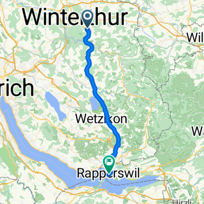 Winterthur-Rapperswil
- Distance
- 35.1 km
- Ascent
- 384 m
- Descent
- 430 m
- Location
- Seen (Kreis 3) / Büelwiesen, Canton of Zurich, Switzerland
Open it in the app