
Suhard - Banda Galbenă
A cycling route starting in Bicaz-Chei, Judeţul Neamţ, Romania.
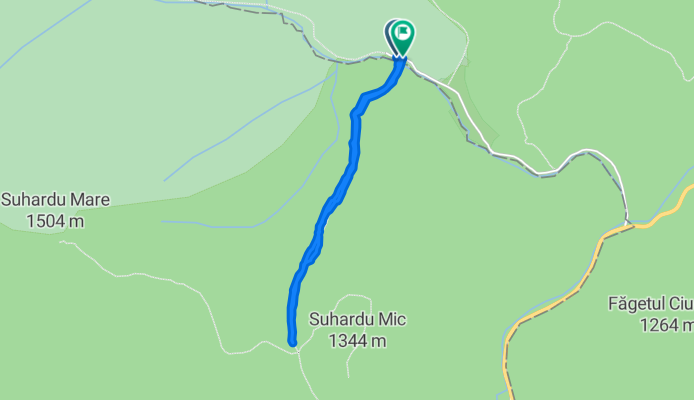
Overview
About this route
- -:--
- Duration
- 2.5 km
- Distance
- 1,205 m
- Ascent
- 1,209 m
- Descent
- ---
- Avg. speed
- ---
- Avg. speed

Route quality
Waytypes & surfaces along the route
Waytypes
Path
2.5 km
(98 %)
Quiet road
0 km
(2 %)
Undefined
0 km
(<1 %)
Surfaces
Unpaved
2.5 km
(100 %)
Ground
2.5 km
(98 %)
Gravel
0 km
(2 %)
Undefined
0 km
(<1 %)
Continue with Bikemap
Use, edit, or download this cycling route
You would like to ride Suhard - Banda Galbenă or customize it for your own trip? Here is what you can do with this Bikemap route:
Free features
- Save this route as favorite or in collections
- Copy & plan your own version of this route
- Sync your route with Garmin or Wahoo
Premium features
Free trial for 3 days, or one-time payment. More about Bikemap Premium.
- Navigate this route on iOS & Android
- Export a GPX / KML file of this route
- Create your custom printout (try it for free)
- Download this route for offline navigation
Discover more Premium features.
Get Bikemap PremiumFrom our community
Other popular routes starting in Bicaz-Chei
 Autumn Fun
- Distance
- 41.6 km
- Ascent
- 1,673 m
- Descent
- 1,708 m
- Location
- Bicaz-Chei, Judeţul Neamţ, Romania
 2010.11.14 Hasmas - Surduc
- Distance
- 69.3 km
- Ascent
- 1,506 m
- Descent
- 1,506 m
- Location
- Bicaz-Chei, Judeţul Neamţ, Romania
 HASMAS 27.06.2015
- Distance
- 56.1 km
- Ascent
- 1,252 m
- Descent
- 1,218 m
- Location
- Bicaz-Chei, Judeţul Neamţ, Romania
 Gyergyói túra 2.nap
- Distance
- 87.7 km
- Ascent
- 540 m
- Descent
- 1,063 m
- Location
- Bicaz-Chei, Judeţul Neamţ, Romania
 Gyilkos 2/2
- Distance
- 80 km
- Ascent
- 628 m
- Descent
- 1,020 m
- Location
- Bicaz-Chei, Judeţul Neamţ, Romania
 LACU ROSU-VALEA BICAJELULUI-TREI FANTANI-POIANA ALBA-STANA PALEU AUREL (B.A.)-VALEA OII (B.A.)-LACU ROSU
- Distance
- 27 km
- Ascent
- 735 m
- Descent
- 718 m
- Location
- Bicaz-Chei, Judeţul Neamţ, Romania
 Hasmas 2012
- Distance
- 78.8 km
- Ascent
- 1,969 m
- Descent
- 1,963 m
- Location
- Bicaz-Chei, Judeţul Neamţ, Romania
 Gyilkos tó
- Distance
- 72.5 km
- Ascent
- 578 m
- Descent
- 929 m
- Location
- Bicaz-Chei, Judeţul Neamţ, Romania
Open it in the app