

St Ninian's Way: Carlisle to St Andrews
A cycling route starting in Carlisle, England, United Kingdom.
Overview
About this route
Starting in Carlisle at the cathedral, St Ninian's Way goes north across the border into Scotland and west to Whithorn and St Ninian's Cave, about 210 kms. Then the Way goes north and along the Ayrshire coast to Paisley, about 130 kms. Then into Glasgow and mainly along canal and quiet roads to Falkirk, Linlithgow and South Queensferry, about 130 kms. There it picks up St Margaret's Way for the remaining 65 kms to St Andrews. All in all over 600 kms of diverse and spectacular scenery.
Includes sections of the John Muir Way , Ayrshire Coastal Path and the Whithorn Way .
http://www.ayrshirecoastalpath.org/
For other routes and individual sections see http://www.thewayofstandrews.com
- -:--
- Duration
- 621.2 km
- Distance
- 4,241 m
- Ascent
- 4,251 m
- Descent
- ---
- Avg. speed
- 272 m
- Max. altitude

Continue with Bikemap
Use, edit, or download this cycling route
You would like to ride St Ninian's Way: Carlisle to St Andrews or customize it for your own trip? Here is what you can do with this Bikemap route:
Free features
- Save this route as favorite or in collections
- Copy & plan your own version of this route
- Split it into stages to create a multi-day tour
- Sync your route with Garmin or Wahoo
Premium features
Free trial for 3 days, or one-time payment. More about Bikemap Premium.
- Navigate this route on iOS & Android
- Export a GPX / KML file of this route
- Create your custom printout (try it for free)
- Download this route for offline navigation
Discover more Premium features.
Get Bikemap PremiumFrom our community
Other popular routes starting in Carlisle
 Kingstown Road 42 to Kingstown Road 49
- Distance
- 33 km
- Ascent
- 272 m
- Descent
- 271 m
- Location
- Carlisle, England, United Kingdom
 Currock2Wreay2Durdar - OR
- Distance
- 15.6 km
- Ascent
- 104 m
- Descent
- 105 m
- Location
- Carlisle, England, United Kingdom
 Girolibero: Il vallo di Adriano e il Lake District
- Distance
- 352 km
- Ascent
- 2,037 m
- Descent
- 2,047 m
- Location
- Carlisle, England, United Kingdom
 Solway
- Distance
- 60.9 km
- Ascent
- 20 m
- Descent
- 20 m
- Location
- Carlisle, England, United Kingdom
 Big home loop
- Distance
- 51.2 km
- Ascent
- 107 m
- Descent
- 105 m
- Location
- Carlisle, England, United Kingdom
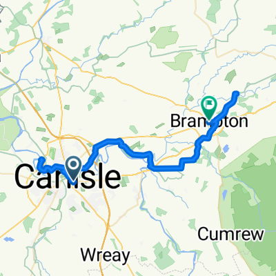 06 Carlisle to Brampton
- Distance
- 38.8 km
- Ascent
- 337 m
- Descent
- 285 m
- Location
- Carlisle, England, United Kingdom
 Day 7, 78 miles from Carlyle to Lancaster
- Distance
- 124.9 km
- Ascent
- 1,361 m
- Descent
- 1,337 m
- Location
- Carlisle, England, United Kingdom
 Walton trip
- Distance
- 22.2 km
- Ascent
- 236 m
- Descent
- 158 m
- Location
- Carlisle, England, United Kingdom
Open it in the app