- 46.4 km
- 1,319 m
- 1,301 m
- Argelès-Gazost, Occitanie, France
Route des Cols des Hautes Pyrénées - stage 3
A cycling route starting in Argelès-Gazost, Occitanie, France.
Overview
About this route
Argeles Gazost - Soulom - via D921 - Luz Saint Sauveur - via D918 - Cabadur - Bareges - Col du Tourmalet - La Mongie - Gripp - Sainte Marie de Campan - Rimoula - Bagneres de Bigorre - via D935 - Trebons - via D937 - Arcizac ez Angles - Lourdes - Argeles Gazost
Col du Tourmalet (2115 m)
Col de la Courade (1315 m)
- -:--
- Duration
- 109.1 km
- Distance
- 2,255 m
- Ascent
- 2,257 m
- Descent
- ---
- Avg. speed
- ---
- Max. altitude
created this 6 years ago
Route quality
Waytypes & surfaces along the route
Waytypes
Quiet road
24 km
(22 %)
Road
7.6 km
(7 %)
Surfaces
Paved
80.7 km
(74 %)
Unpaved
3.3 km
(3 %)
Asphalt
80.7 km
(74 %)
Gravel
2.2 km
(2 %)
Continue with Bikemap
Use, edit, or download this cycling route
You would like to ride Route des Cols des Hautes Pyrénées - stage 3 or customize it for your own trip? Here is what you can do with this Bikemap route:
Free features
- Save this route as favorite or in collections
- Copy & plan your own version of this route
- Split it into stages to create a multi-day tour
- Sync your route with Garmin or Wahoo
Premium features
Free trial for 3 days, or one-time payment. More about Bikemap Premium.
- Navigate this route on iOS & Android
- Export a GPX / KML file of this route
- Create your custom printout (try it for free)
- Download this route for offline navigation
Discover more Premium features.
Get Bikemap PremiumFrom our community
Other popular routes starting in Argelès-Gazost
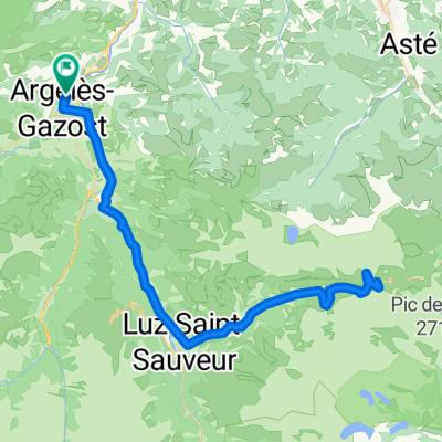
- V12 Cols de Soulor i Aubisque
- HPSV E6 9sep.
- 86.2 km
- 2,322 m
- 2,128 m
- Argelès-Gazost, Occitanie, France
- 20130920 Col d'Aubisque
- 29 km
- 1,441 m
- 203 m
- Argelès-Gazost, Occitanie, France
- R4K PC2012 dag 3 Groep A
- 125.7 km
- 2,408 m
- 2,409 m
- Argelès-Gazost, Occitanie, France
- Argeles-Gazost- Lanus
- 114.3 km
- 3,302 m
- 3,296 m
- Argelès-Gazost, Occitanie, France
- TOURMALET_2014_02
- 98.3 km
- 2,715 m
- 1,995 m
- Argelès-Gazost, Occitanie, France
- R4K PC2012 dag 1 ochtend
- 34.3 km
- 812 m
- 812 m
- Argelès-Gazost, Occitanie, France
- R4K PC2012 Dag 3 groep B
- 76.7 km
- 1,736 m
- 1,736 m
- Argelès-Gazost, Occitanie, France
Open it in the app


