way back
- 6.6 km
- 85 m
- 150 m
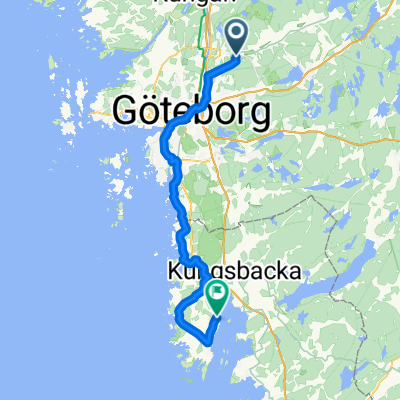
- Rannebergen, Västra Götaland County, Sweden
A cycling route starting in Rannebergen, Västra Götaland County, Sweden.
Overview
created this 6 years ago
Route quality
Quiet road
39.2 km
74 %
Road
6.9 km
13 %
Paved
22.8 km
(43 %)
Unpaved
29.7 km
(56 %)
Gravel
26 km
49 %
Asphalt
22.2 km
42 %
Continue with Bikemap
You would like to ride friday3 or customize it for your own trip? Here is what you can do with this Bikemap route:
Free trial for 3 days, or one-time payment. More about Bikemap Premium.
Discover more Premium features.
Get Bikemap PremiumFrom our community
Open it in the app