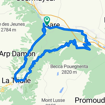
2011 Bernard - 05 - Piccolo St. Bernard - 2188 m
- 79.7 km
- 2,138 m
- 1,427 m
- Prè-Saint-Didier, Aosta Valley, Italy
A cycling route starting in Prè-Saint-Didier, Aosta Valley, Italy.
Overview
created this 6 years ago
Route quality
Quiet road
18.6 km
(48 %)
Road
10.1 km
(26 %)
Paved
33.8 km
(87 %)
Unpaved
1.2 km
(3 %)
Asphalt
32.2 km
(83 %)
Paved (undefined)
1.6 km
(4 %)
Route highlights
\"")
Glaciar du Gégant
\"")
Chalet Val Ferret. Col Ferret al fondo.
\"")
Glaciar del Miage
\"")
Fin de la pista asfaltada al lago Combal
Continue with Bikemap
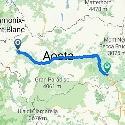
You would like to ride ALTO DE VAL FERRET/ VAL VENY (por Pré-Saint-Didier) or customize it for your own trip? Here is what you can do with this Bikemap route:
Free trial for 3 days, or one-time payment. More about Bikemap Premium.
Discover more Premium features.
Get Bikemap PremiumFrom our community
Open it in the app