
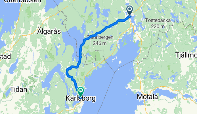
ostsee20-21 Askersund - Karlsborg
A cycling route starting in Askersund, Örebro County, Sweden.
Overview
About this route
ostsee20
vordere Etappe: ostsee20-20 Motala - Askersund
nächste Etappe: ostsee20-22 Karlsborg - Mariestad
- -:--
- Duration
- 61.3 km
- Distance
- 392 m
- Ascent
- 392 m
- Descent
- ---
- Avg. speed
- ---
- Max. altitude

Route quality
Waytypes & surfaces along the route
Waytypes
Road
37.4 km
(61 %)
Quiet road
14.7 km
(24 %)
Surfaces
Paved
60.1 km
(98 %)
Asphalt
59.5 km
(97 %)
Paved (undefined)
0.6 km
(1 %)
Undefined
1.2 km
(2 %)
Continue with Bikemap
Use, edit, or download this cycling route
You would like to ride ostsee20-21 Askersund - Karlsborg or customize it for your own trip? Here is what you can do with this Bikemap route:
Free features
- Save this route as favorite or in collections
- Copy & plan your own version of this route
- Sync your route with Garmin or Wahoo
Premium features
Free trial for 3 days, or one-time payment. More about Bikemap Premium.
- Navigate this route on iOS & Android
- Export a GPX / KML file of this route
- Create your custom printout (try it for free)
- Download this route for offline navigation
Discover more Premium features.
Get Bikemap PremiumFrom our community
Other popular routes starting in Askersund
 Borensberg-Askersund
- Distance
- 89.3 km
- Ascent
- 358 m
- Descent
- 352 m
- Location
- Askersund, Örebro County, Sweden
 Gota Kanal 8a tappa: Askersund - Regna
- Distance
- 64.8 km
- Ascent
- 205 m
- Descent
- 228 m
- Location
- Askersund, Örebro County, Sweden
 Floragatan 22, Askersund to Baggekärr 2, Tived
- Distance
- 51.8 km
- Ascent
- 812 m
- Descent
- 786 m
- Location
- Askersund, Örebro County, Sweden
 Askersund Malmo Airport
- Distance
- 884.2 km
- Ascent
- 542 m
- Descent
- 574 m
- Location
- Askersund, Örebro County, Sweden
 ostsee20-21 Askersund - Karlsborg
- Distance
- 61.3 km
- Ascent
- 392 m
- Descent
- 392 m
- Location
- Askersund, Örebro County, Sweden
 Runt Vättern 2011 6. Tag Askersund-Vadestena
- Distance
- 86.8 km
- Ascent
- 360 m
- Descent
- 360 m
- Location
- Askersund, Örebro County, Sweden
 Recovered Route
- Distance
- 9.5 km
- Ascent
- 51 m
- Descent
- 51 m
- Location
- Askersund, Örebro County, Sweden
 EMU Sweden 2020 Etappe 6
- Distance
- 54.6 km
- Ascent
- 223 m
- Descent
- 240 m
- Location
- Askersund, Örebro County, Sweden
Open it in the app