

Radschnellweg Freiburg West
A cycling route starting in Teningen, Baden-Wurttemberg, Germany.
Overview
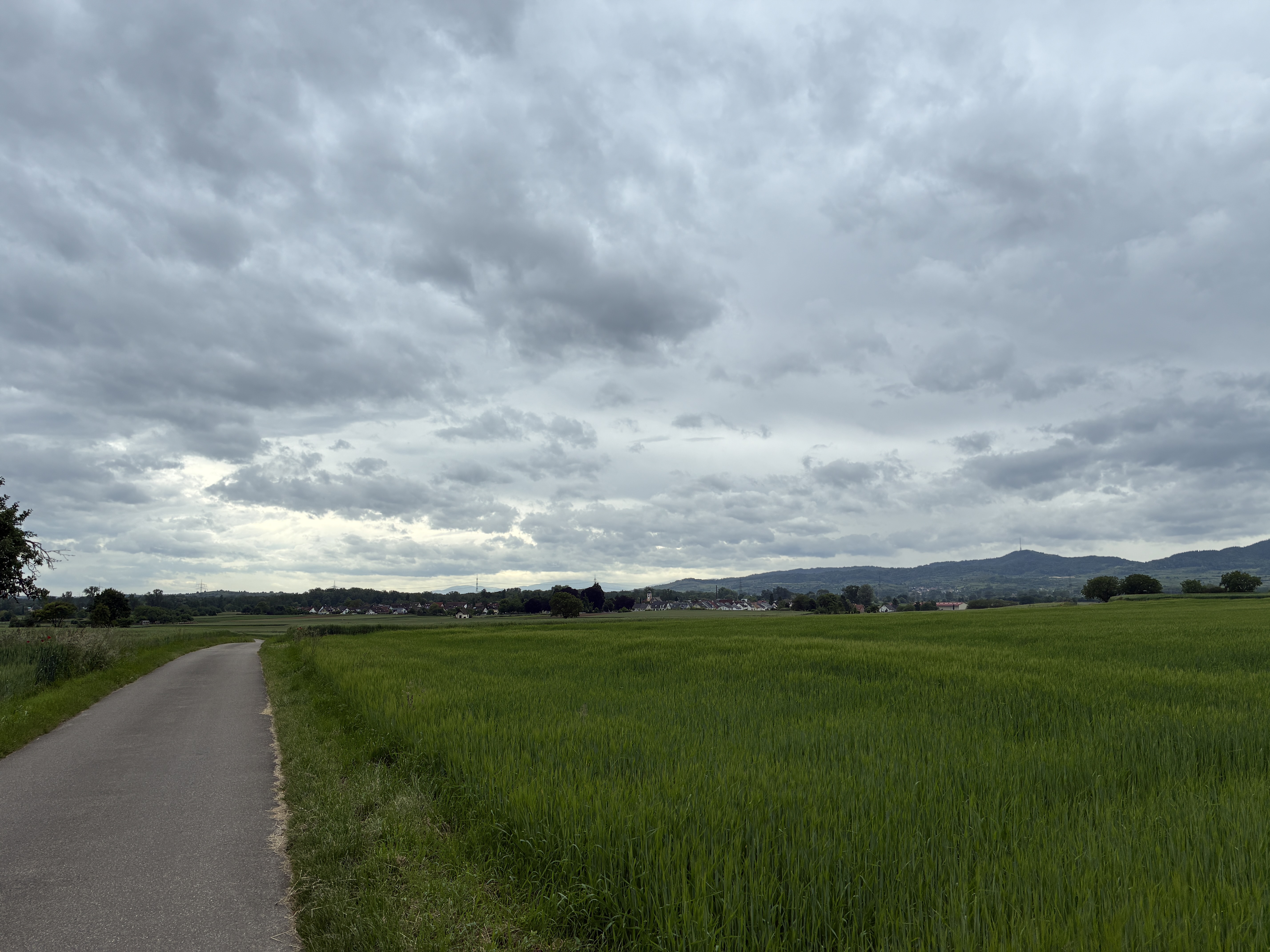
About this route
Das ist der aktuell fahrbahre Radweg von Freiburg über March nach Nimburg.
- -:--
- Duration
- 17.9 km
- Distance
- 301 m
- Ascent
- 222 m
- Descent
- ---
- Avg. speed
- ---
- Max. altitude
Route quality
Waytypes & surfaces along the route
Waytypes
Track
5.5 km
(31 %)
Quiet road
4.7 km
(26 %)
Surfaces
Paved
12.9 km
(72 %)
Unpaved
2 km
(11 %)
Asphalt
10 km
(56 %)
Paved (undefined)
2.9 km
(16 %)
Continue with Bikemap
Use, edit, or download this cycling route
You would like to ride Radschnellweg Freiburg West or customize it for your own trip? Here is what you can do with this Bikemap route:
Free features
- Save this route as favorite or in collections
- Copy & plan your own version of this route
- Sync your route with Garmin or Wahoo
Premium features
Free trial for 3 days, or one-time payment. More about Bikemap Premium.
- Navigate this route on iOS & Android
- Export a GPX / KML file of this route
- Create your custom printout (try it for free)
- Download this route for offline navigation
Discover more Premium features.
Get Bikemap PremiumFrom our community
Other popular routes starting in Teningen
 Gottenheim
- Distance
- 35.6 km
- Ascent
- 156 m
- Descent
- 149 m
- Location
- Teningen, Baden-Wurttemberg, Germany
 Durchs Freiamt
- Distance
- 67.3 km
- Ascent
- 908 m
- Descent
- 907 m
- Location
- Teningen, Baden-Wurttemberg, Germany
 Hecklingen - Riegel
- Distance
- 19.1 km
- Ascent
- 108 m
- Descent
- 112 m
- Location
- Teningen, Baden-Wurttemberg, Germany
 Bodensee Tour
- Distance
- 566.3 km
- Ascent
- 3,707 m
- Descent
- 3,599 m
- Location
- Teningen, Baden-Wurttemberg, Germany
 Round Vosges Juli 2020
- Distance
- 462.1 km
- Ascent
- 746 m
- Descent
- 745 m
- Location
- Teningen, Baden-Wurttemberg, Germany
 Abendrunde
- Distance
- 16.1 km
- Ascent
- 309 m
- Descent
- 310 m
- Location
- Teningen, Baden-Wurttemberg, Germany
 Teningen Breisach Artzheim Marckolsheim Teningen
- Distance
- 77.4 km
- Ascent
- 178 m
- Descent
- 170 m
- Location
- Teningen, Baden-Wurttemberg, Germany
 Eichstetten Endingen Bahlingen
- Distance
- 27.2 km
- Ascent
- 168 m
- Descent
- 163 m
- Location
- Teningen, Baden-Wurttemberg, Germany
Open it in the app