

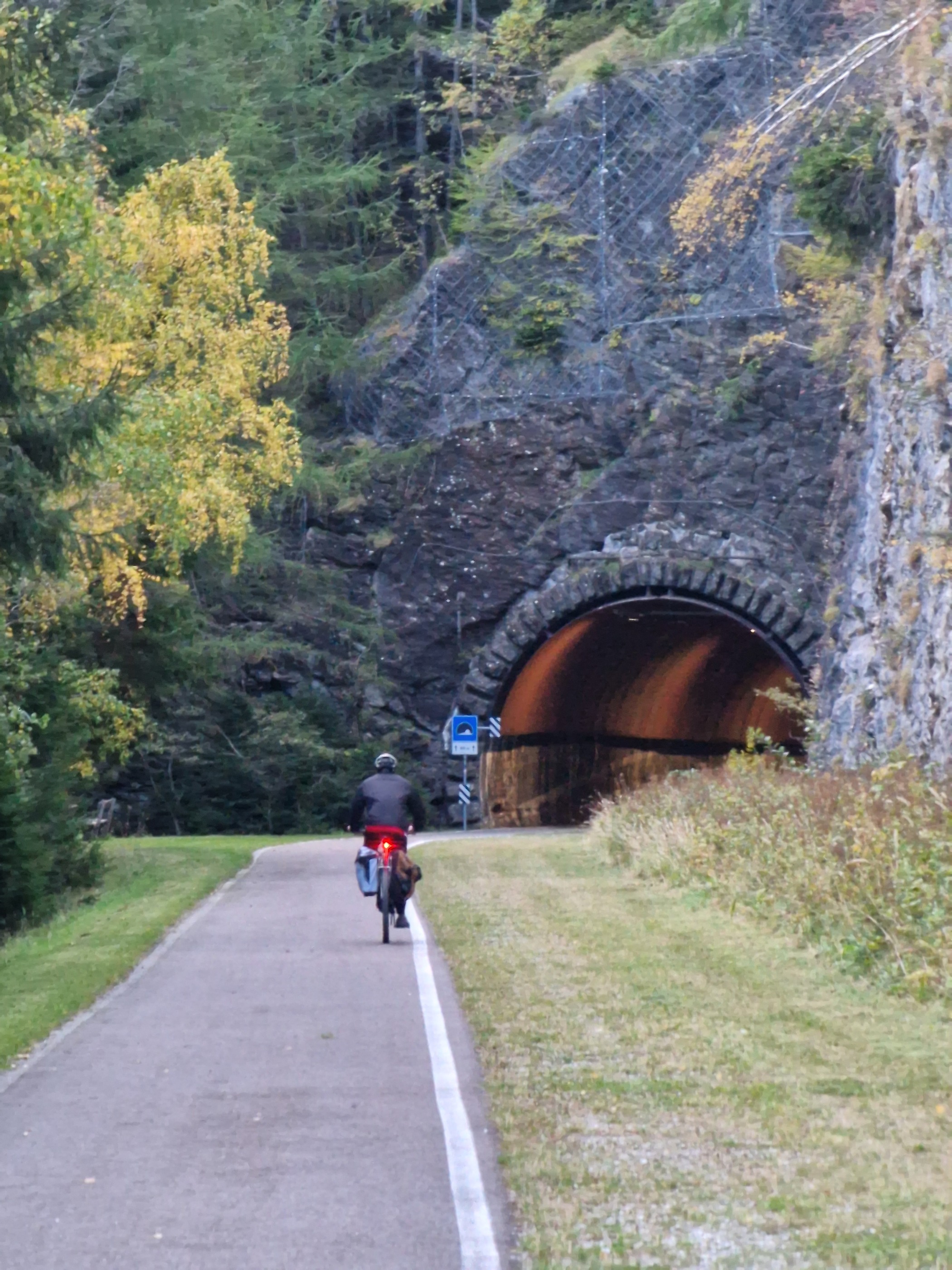
Rauschbrunnen über Arzler-Alm
A cycling route starting in Innsbruck, Tyrol, Austria.
Overview
About this route
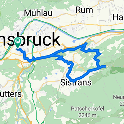
Ausgangspunkt und Zielpunkt ist die Schöpfstraße Nr. 27. Von hier führt die Route über die Universitätsbrücke und gleich danach in Richtung Osten bis zur Innallee. Von dort zum Alpenzoo und über den Schillerweg zum Rechenhofweg. Bei der Kreuzung Rechenhofweg / Purnhofweg geht es links ab auf den Steinbruchweg hinauf zum Rosnerweg und von diesem zweigt man nach einigen 100 Metern rechts ab zur Arzler Alm. Hier fährt man weiter zur Umbrüggleralm und von dort weiter in Richtung Westen zum Höttinger Bach und in Richtung Höttinger Bild. Es folgt eine Abzweigung nach rechts hinauf zum Bärfallweg und auf diesem geht es hinauf bis zum Gasthaus Rauschbrunnen, dem eigentlichen Ziel! Die Rückfahrt erfolgt auf dem gleichen Weg bis zur Abzweigung zum Höttinger Bild und von dort zum Planötzenhof weiter in Richtung Höttinger Auffahrt weiter über Universitätsbrücke. Von dort kurz nach Westen auf dem Innradweg bis zur Abzweigung in Richtung Schöpfstraße zum Ausgangspunkt.
- -:--
- Duration
- 24.6 km
- Distance
- 854 m
- Ascent
- 854 m
- Descent
- ---
- Avg. speed
- 1,186 m
- Max. altitude

Route quality
Waytypes & surfaces along the route
Waytypes
Track
15.2 km
(62 %)
Quiet road
5.2 km
(21 %)
Surfaces
Paved
8.8 km
(36 %)
Unpaved
15.2 km
(62 %)
Gravel
15.2 km
(62 %)
Asphalt
8.8 km
(36 %)
Undefined
0.5 km
(2 %)
Continue with Bikemap
Use, edit, or download this cycling route
You would like to ride Rauschbrunnen über Arzler-Alm or customize it for your own trip? Here is what you can do with this Bikemap route:
Free features
- Save this route as favorite or in collections
- Copy & plan your own version of this route
- Sync your route with Garmin or Wahoo
Premium features
Free trial for 3 days, or one-time payment. More about Bikemap Premium.
- Navigate this route on iOS & Android
- Export a GPX / KML file of this route
- Create your custom printout (try it for free)
- Download this route for offline navigation
Discover more Premium features.
Get Bikemap PremiumFrom our community
Other popular routes starting in Innsbruck
 IBK - Maria Waldrast - IBK
- Distance
- 62.1 km
- Ascent
- 1,628 m
- Descent
- 1,626 m
- Location
- Innsbruck, Tyrol, Austria
 Innsbruck - Imst_original 001
- Distance
- 62.1 km
- Ascent
- 588 m
- Descent
- 448 m
- Location
- Innsbruck, Tyrol, Austria
 Innsbruck - Viggarspitze
- Distance
- 16.9 km
- Ascent
- 1,750 m
- Descent
- 61 m
- Location
- Innsbruck, Tyrol, Austria
 Am Roßsprung 1, Innsbruck nach Am Roßsprung 1, Innsbruck
- Distance
- 40 km
- Ascent
- 622 m
- Descent
- 674 m
- Location
- Innsbruck, Tyrol, Austria
 Über den Brenner
- Distance
- 71.5 km
- Ascent
- 1,136 m
- Descent
- 770 m
- Location
- Innsbruck, Tyrol, Austria
 Wiesenhöfe - Sistrans - Aldrans - Innsbruck
- Distance
- 22.2 km
- Ascent
- 452 m
- Descent
- 450 m
- Location
- Innsbruck, Tyrol, Austria
 Innsbruck II
- Distance
- 15.7 km
- Ascent
- 1,386 m
- Descent
- 0 m
- Location
- Innsbruck, Tyrol, Austria
 007
007- Distance
- 87.9 km
- Ascent
- 2,182 m
- Descent
- 2,100 m
- Location
- Innsbruck, Tyrol, Austria
Open it in the app