

踩去上水回程在聯和墟晚飯
A cycling route starting in Sai Kung, Sai Kung District, Hong Kong.
Overview
About this route
- 4 h 44 min
- Duration
- 50.7 km
- Distance
- 348 m
- Ascent
- 371 m
- Descent
- 10.7 km/h
- Avg. speed
- ---
- Max. altitude

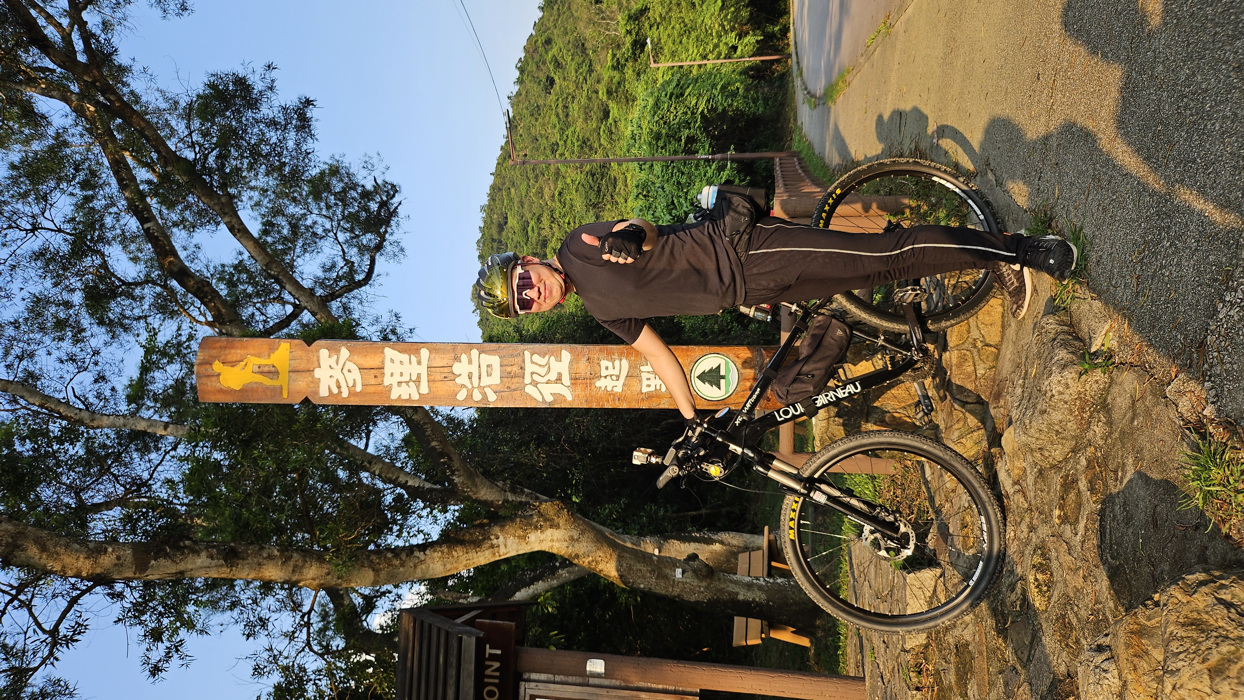
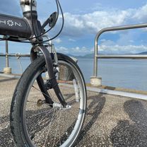
Route photos


Continue with Bikemap
Use, edit, or download this cycling route
You would like to ride 踩去上水回程在聯和墟晚飯 or customize it for your own trip? Here is what you can do with this Bikemap route:
Free features
- Save this route as favorite or in collections
- Copy & plan your own version of this route
- Sync your route with Garmin or Wahoo
Premium features
Free trial for 3 days, or one-time payment. More about Bikemap Premium.
- Navigate this route on iOS & Android
- Export a GPX / KML file of this route
- Create your custom printout (try it for free)
- Download this route for offline navigation
Discover more Premium features.
Get Bikemap PremiumFrom our community
Other popular routes starting in Sai Kung
 Slow ride
- Distance
- 45.4 km
- Ascent
- 791 m
- Descent
- 767 m
- Location
- Sai Kung, Sai Kung District, Hong Kong
 18 On Shing Street, Ma On Shan to 8 On Shing Street, Ma On Shan
- Distance
- 19.3 km
- Ascent
- 10 m
- Descent
- 22 m
- Location
- Sai Kung, Sai Kung District, Hong Kong
 Sai Sha Road, Ma On Shan to Wu Kai Sha, Ma On Shan
- Distance
- 43.8 km
- Ascent
- 400 m
- Descent
- 400 m
- Location
- Sai Kung, Sai Kung District, Hong Kong
 Relaxed route
- Distance
- 43.6 km
- Ascent
- 760 m
- Descent
- 742 m
- Location
- Sai Kung, Sai Kung District, Hong Kong
 踩去上水回程在聯和墟晚飯
- Distance
- 50.7 km
- Ascent
- 348 m
- Descent
- 371 m
- Location
- Sai Kung, Sai Kung District, Hong Kong
 耀沙路 11 to 星漣海
- Distance
- 26.3 km
- Ascent
- 243 m
- Descent
- 239 m
- Location
- Sai Kung, Sai Kung District, Hong Kong
 輕輕鬆鬆踩
輕輕鬆鬆踩- Distance
- 28.7 km
- Ascent
- 0 m
- Descent
- 10 m
- Location
- Sai Kung, Sai Kung District, Hong Kong
 慢入 馬鞍山
- Distance
- 26.4 km
- Ascent
- 3 m
- Descent
- 50 m
- Location
- Sai Kung, Sai Kung District, Hong Kong
Open it in the app