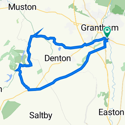
Grantham Circular via Halaxton
- 13 km
- 114 m
- 112 m
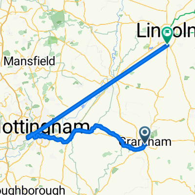
- Grantham, England, United Kingdom
A cycling route starting in Grantham, England, United Kingdom.
Overview
44 miles of beautiful, rolling, west Lincolnshire countryside. After a treat at the March Hare Tearooms (W3W location ///nervy.eggplants.afternoon) you will head over the border and through East Leicestershire.
created this 6 years ago
Route quality
Road
48.8 km
68 %
Quiet road
16.5 km
23 %
Paved
6.5 km
(9 %)
Asphalt
5 km
7 %
Paved (undefined)
1.4 km
2 %
Undefined
65.3 km
91 %
Continue with Bikemap
You would like to ride 45 Miles to visit the March Hare or customize it for your own trip? Here is what you can do with this Bikemap route:
Free trial for 3 days, or one-time payment. More about Bikemap Premium.
Discover more Premium features.
Get Bikemap PremiumFrom our community
Open it in the app