Heilbronn
- 81.2 km
- 632 m
- 679 m
- Zaisenhausen, Baden-Wurttemberg, Germany
A cycling route starting in Zaisenhausen, Baden-Wurttemberg, Germany.
Overview
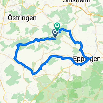
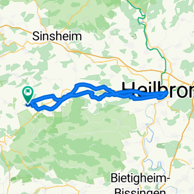
Start and end point is Gochsheim. First, you ride from Gochsheim to Bahnbrücken via Bahnhäldenweg along the railway line and the Eschbach stream. Between Bahnbrücken station and the village entrance of Bahnbrücken, you can use the bike path that runs parallel to the road. At the end of the village of Bahnbrücken, the mountain route begins through a beautiful sunken path. Before you reach the top, the path bends right toward Zaisenhausen. However, we do not go directly to Zaisenhausen but turn left after about 500m onto a road that is not marked on the map, passing a farm on the right side. After that, we go left again, then immediately right. After passing through the dip, there is a rather steep climb with two narrow asphalt strips as the roadway to tackle. Once at the top, we turn right toward Zaisenhausen. After a rapid descent, you enter the village and come directly onto the main street (caution cross traffic) where we turn left toward Sulzfeld. Even before the bridge over the federal road, we can use the bike path that runs to the right of the road, which leads directly to Sulzfeld. In Sulzfeld, we turn right onto the main street and follow this to the snack bar Ali Baba. There, we turn right onto Dammerstraße and follow it to the end of the village, but continue straight on the concrete path. The path gradually rises, we turn right at the top, cross a dip, then turn left and then immediately back right. Then left again and immediately right again. This path takes us back to Zaisenhausen. There we head toward the train station and follow this road straight ahead, passing the sports field and riding arena. We then reach the entrance to the B293 where we turn right again heading towards Zaisenhausen. Before we reach Zaisenhausen again, we turn left onto the old Flehinger road and follow it to Flehingen. In Flehingen, we turn left and follow the main road for a short distance until we turn into Eastern Bahnhofstraße, where we cross the railway line. At the top, we turn into Derdinger Weg and follow it until Oberderdingen. Through Kirchstraße, Bachstraße, Hauptstraße, and Rote-Tor-Straße we arrive at the narrow Seeweg that passes through gardens and next to the swimming pool. Arriving at Brettener Straße, we turn left, then right toward Derdinger Horn. Upon reaching the viewpoint, one can turn left and tackle the last fierce and steep climb of the tour, but then must return the same way to continue the route. Just below the viewpoint, we again turn left and rush down along the vineyards into the valley. At the stadium, we again return to Brettener Straße, where we turn right toward the village center. We then follow Flehinger Straße to Flehingen (parallel bike path on the left side of the road). We go through the underpass, then left and immediately right. Just before the end of the village, we turn right into Hirschstraße and then left onto Gochsheimer Straße, which takes us past the swimming pool and the Jewish cemetery directly back to the starting point in Gochsheim. The route consists solely of asphalted or concreted roads and paths. Some challenging climbs need to be tackled!
created this 15 years ago
Route quality
Track
14.4 km
(34 %)
Quiet road
11.4 km
(27 %)
Paved
28.7 km
(68 %)
Unpaved
4.2 km
(10 %)
Asphalt
19.4 km
(46 %)
Paved (undefined)
7.6 km
(18 %)
Continue with Bikemap
You would like to ride Derdinger Horn-Runde or customize it for your own trip? Here is what you can do with this Bikemap route:
Free trial for 3 days, or one-time payment. More about Bikemap Premium.
Discover more Premium features.
Get Bikemap PremiumFrom our community
Open it in the app