

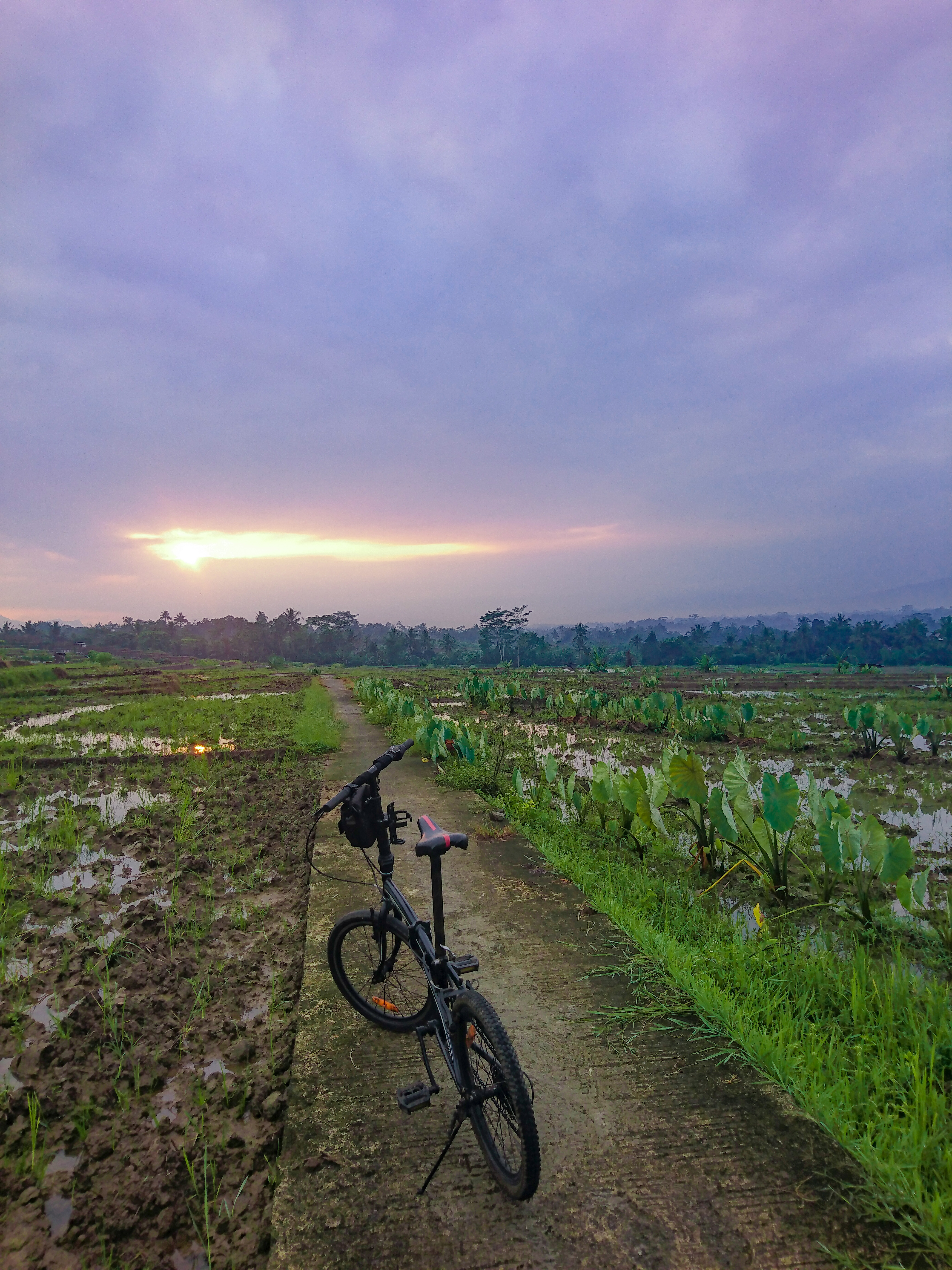
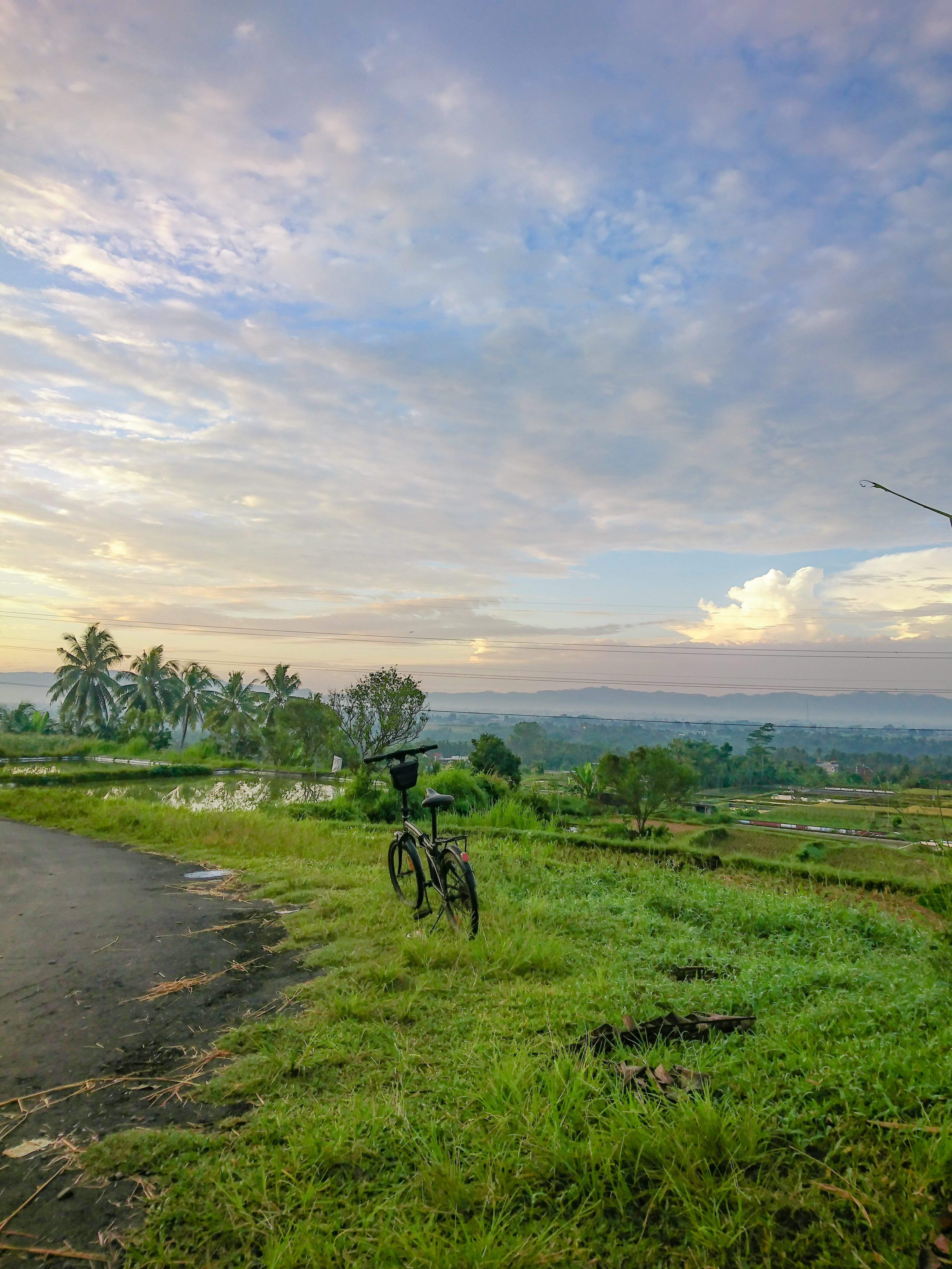
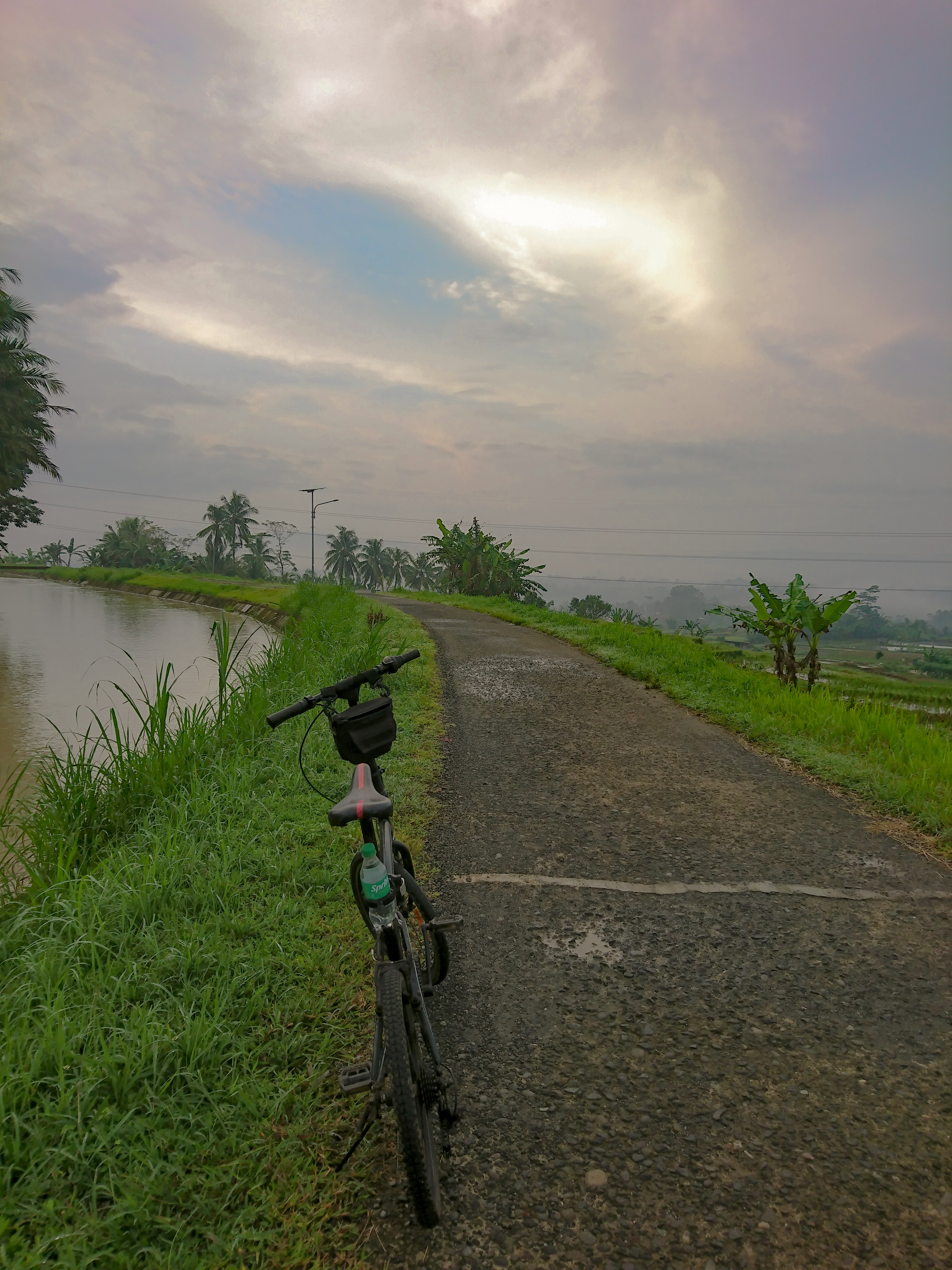
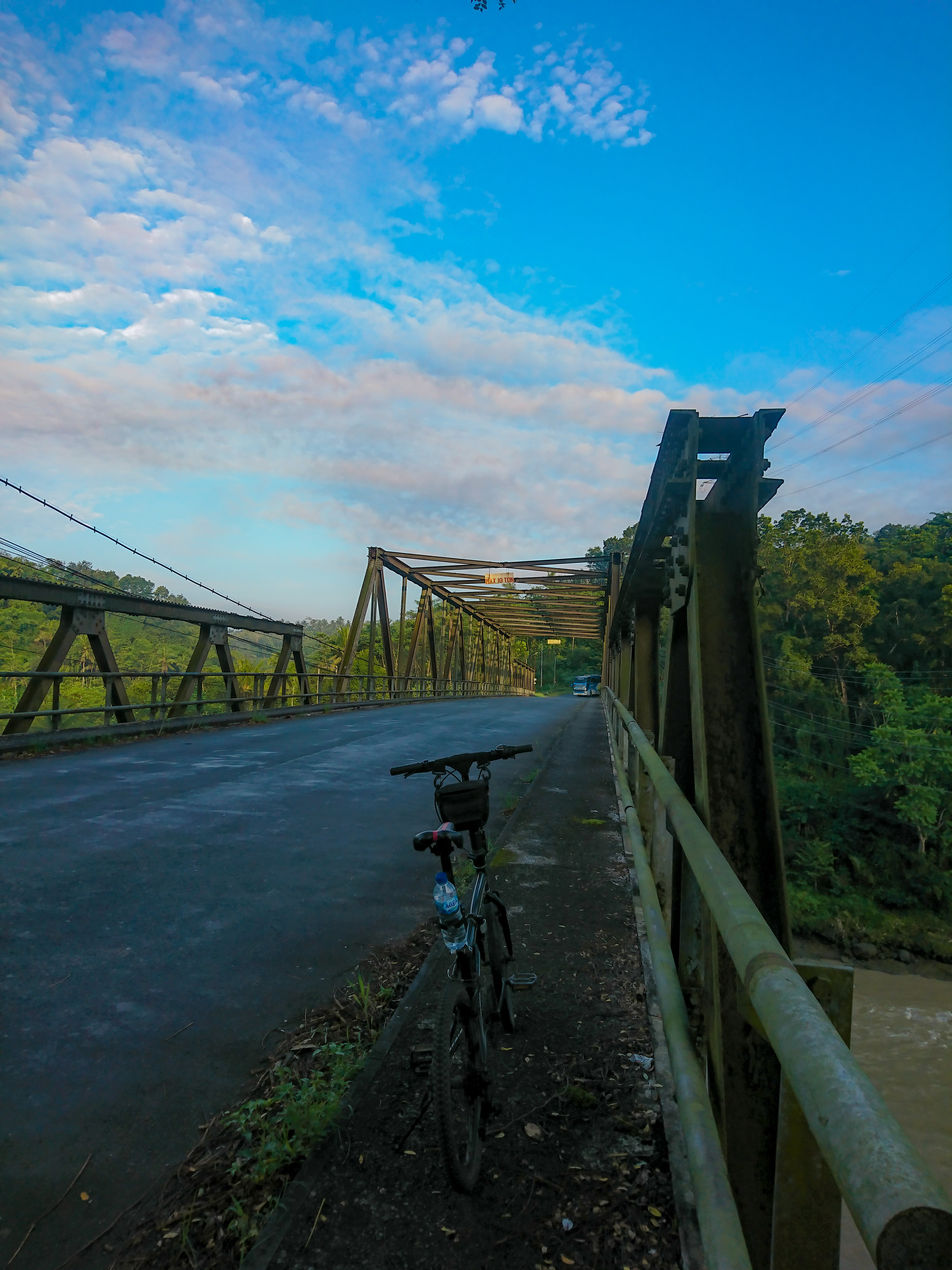
RF Banjar negara madukara-pagenten-Sikunir Dieng
A cycling route starting in Banjarnegara, Central Java, Indonesia.
Overview
About this route
- 18 h 15 min
- Duration
- 61.5 km
- Distance
- 8,040 m
- Ascent
- 6,208 m
- Descent
- 3.4 km/h
- Avg. speed
- ---
- Max. altitude

Route quality
Waytypes & surfaces along the route
Waytypes
Road
14.1 km
(23 %)
Quiet road
6.2 km
(10 %)
Surfaces
Paved
14.1 km
(23 %)
Asphalt
14.1 km
(23 %)
Undefined
47.4 km
(77 %)
Continue with Bikemap
Use, edit, or download this cycling route
You would like to ride RF Banjar negara madukara-pagenten-Sikunir Dieng or customize it for your own trip? Here is what you can do with this Bikemap route:
Free features
- Save this route as favorite or in collections
- Copy & plan your own version of this route
- Sync your route with Garmin or Wahoo
Premium features
Free trial for 3 days, or one-time payment. More about Bikemap Premium.
- Navigate this route on iOS & Android
- Export a GPX / KML file of this route
- Create your custom printout (try it for free)
- Download this route for offline navigation
Discover more Premium features.
Get Bikemap PremiumFrom our community
Other popular routes starting in Banjarnegara
 KAMISSS
- Distance
- 9.7 km
- Ascent
- 137 m
- Descent
- 122 m
- Location
- Banjarnegara, Central Java, Indonesia
 kamisyu
- Distance
- 24.3 km
- Ascent
- 362 m
- Descent
- 347 m
- Location
- Banjarnegara, Central Java, Indonesia
 Route from HHG3+7HM
- Distance
- 8.6 km
- Ascent
- 119 m
- Descent
- 78 m
- Location
- Banjarnegara, Central Java, Indonesia
 RABUUU
- Distance
- 8.8 km
- Ascent
- 175 m
- Descent
- 120 m
- Location
- Banjarnegara, Central Java, Indonesia
 Jalan K.H. Ahmad Dahlan 6, Kecamatan Banjarnegara to Jalan Campur Salam, Bawang
- Distance
- 8.8 km
- Ascent
- 56 m
- Descent
- 121 m
- Location
- Banjarnegara, Central Java, Indonesia
 Steady ride in Bawang
- Distance
- 2.5 km
- Ascent
- 93 m
- Descent
- 89 m
- Location
- Banjarnegara, Central Java, Indonesia
 minggu
- Distance
- 10.7 km
- Ascent
- 70 m
- Descent
- 143 m
- Location
- Banjarnegara, Central Java, Indonesia
 pertama ngetrack
- Distance
- 5.6 km
- Ascent
- 286 m
- Descent
- 274 m
- Location
- Banjarnegara, Central Java, Indonesia
Open it in the app