

Vielbrunn - Waldleiningen - Mörschenhardt - Kirchzell - Boxbrunn
A cycling route starting in Rüdenau, Bavaria, Germany.
Overview
About this route
incl. 2 'Waldrampen'
- -:--
- Duration
- 61.4 km
- Distance
- 682 m
- Ascent
- 684 m
- Descent
- ---
- Avg. speed
- ---
- Max. altitude

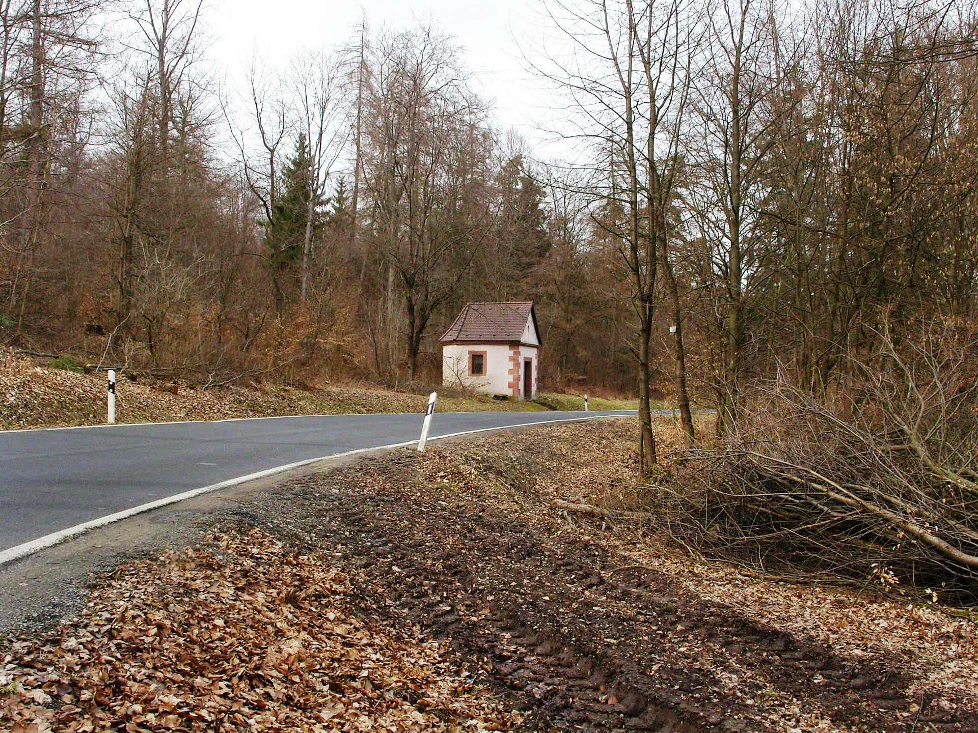
Route photos

Route quality
Waytypes & surfaces along the route
Waytypes
Quiet road
21.5 km
(35 %)
Track
14.1 km
(23 %)
Surfaces
Paved
49.1 km
(80 %)
Unpaved
7.4 km
(12 %)
Asphalt
36.2 km
(59 %)
Paved (undefined)
12.9 km
(21 %)
Continue with Bikemap
Use, edit, or download this cycling route
You would like to ride Vielbrunn - Waldleiningen - Mörschenhardt - Kirchzell - Boxbrunn or customize it for your own trip? Here is what you can do with this Bikemap route:
Free features
- Save this route as favorite or in collections
- Copy & plan your own version of this route
- Sync your route with Garmin or Wahoo
Premium features
Free trial for 3 days, or one-time payment. More about Bikemap Premium.
- Navigate this route on iOS & Android
- Export a GPX / KML file of this route
- Create your custom printout (try it for free)
- Download this route for offline navigation
Discover more Premium features.
Get Bikemap PremiumFrom our community
Other popular routes starting in Rüdenau
 Vielbrunn - Walldürn - Wp7/35 - Wp7/31 - Glashofen - Wp 7/16 - Wp 7/15 - Neudorf - Mainbullau
- Distance
- 73.2 km
- Ascent
- 1,433 m
- Descent
- 1,433 m
- Location
- Rüdenau, Bavaria, Germany
 Vielbrunn - Ohrnbachtal - Weilbach - Miltenberg Parkhof - Wörth - Haingrund - Hainhaus
- Distance
- 46.8 km
- Ascent
- 491 m
- Descent
- 491 m
- Location
- Rüdenau, Bavaria, Germany
 Runde Vielbrunn - Eulbach - Boxbrunn - Watterbach - Kirchzell - Ernstthal - Seitzenbuche - Kailbach - Schöllenbach - Hesselbach - Würzberg
- Distance
- 67.1 km
- Ascent
- 652 m
- Descent
- 652 m
- Location
- Rüdenau, Bavaria, Germany
 Vielbrunn - Windlücke - Rimhorn - Höchst - Bad König - Momart - Kimbach
- Distance
- 33 km
- Ascent
- 473 m
- Descent
- 473 m
- Location
- Rüdenau, Bavaria, Germany
 Vielbrunn - Waldleiningen - Mörschenhardt - Kirchzell - Boxbrunn
- Distance
- 61.4 km
- Ascent
- 682 m
- Descent
- 684 m
- Location
- Rüdenau, Bavaria, Germany
 Vielbrunn - Laudenbach - Wörth - Seckmauern - Lützelbach - Breitenbrunn
- Distance
- 43.1 km
- Ascent
- 553 m
- Descent
- 554 m
- Location
- Rüdenau, Bavaria, Germany
 XXX_1_Vielbrunn - Gönz - Boxbrunn - Kirchzell - Ottorfszell - Preunschen - Mörschenhardt - Ernsttal - Waldleiningen - Kailbach - Hohberg - Reußenkreuz - Bullau
- Distance
- 104.3 km
- Ascent
- 1,516 m
- Descent
- 1,516 m
- Location
- Rüdenau, Bavaria, Germany
 Vielbrunn - Amorbach - Kirchzell - Ottorfszell - Breitenbachtal - Hohe Straße - Würzberg
- Distance
- 51 km
- Ascent
- 885 m
- Descent
- 886 m
- Location
- Rüdenau, Bavaria, Germany
Open it in the app