

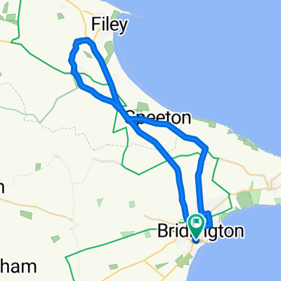
Bridlington to Morcambe
A cycling route starting in Bridlington, England, United Kingdom.
Overview
About this route
Way of the roses with a bit around Malham
- -:--
- Duration
- 265.6 km
- Distance
- 1,200 m
- Ascent
- 1,200 m
- Descent
- ---
- Avg. speed
- ---
- Max. altitude

Route quality
Waytypes & surfaces along the route
Waytypes
Quiet road
122.2 km
(46 %)
Road
77 km
(29 %)
Surfaces
Paved
146.1 km
(55 %)
Unpaved
2.7 km
(1 %)
Asphalt
143.4 km
(54 %)
Paved (undefined)
2.7 km
(1 %)
Continue with Bikemap
Use, edit, or download this cycling route
You would like to ride Bridlington to Morcambe or customize it for your own trip? Here is what you can do with this Bikemap route:
Free features
- Save this route as favorite or in collections
- Copy & plan your own version of this route
- Split it into stages to create a multi-day tour
- Sync your route with Garmin or Wahoo
Premium features
Free trial for 3 days, or one-time payment. More about Bikemap Premium.
- Navigate this route on iOS & Android
- Export a GPX / KML file of this route
- Create your custom printout (try it for free)
- Download this route for offline navigation
Discover more Premium features.
Get Bikemap PremiumFrom our community
Other popular routes starting in Bridlington
 Bridlington to Whitby
- Distance
- 77.8 km
- Ascent
- 740 m
- Descent
- 746 m
- Location
- Bridlington, England, United Kingdom
 BridBevy
- Distance
- 61.7 km
- Ascent
- 157 m
- Descent
- 160 m
- Location
- Bridlington, England, United Kingdom
 Lengthy bike tour through Bridlington
- Distance
- 37.3 km
- Ascent
- 246 m
- Descent
- 243 m
- Location
- Bridlington, England, United Kingdom
 bike tour through Bridlington
- Distance
- 26.3 km
- Ascent
- 41 m
- Descent
- 43 m
- Location
- Bridlington, England, United Kingdom
 Bridlington to Morcambe
- Distance
- 265.6 km
- Ascent
- 1,200 m
- Descent
- 1,200 m
- Location
- Bridlington, England, United Kingdom
 Oatland Road
- Distance
- 22.6 km
- Ascent
- 116 m
- Descent
- 115 m
- Location
- Bridlington, England, United Kingdom
 From Bridlington to South Shields
- Distance
- 236.9 km
- Ascent
- 2,087 m
- Descent
- 2,111 m
- Location
- Bridlington, England, United Kingdom
 ride through Bridlington
- Distance
- 29.3 km
- Ascent
- 177 m
- Descent
- 178 m
- Location
- Bridlington, England, United Kingdom
Open it in the app