

Dookoła Masywu Hyrlatej.
A cycling route starting in Cisna, Subcarpathian Voivodeship, Poland.
Overview
About this route
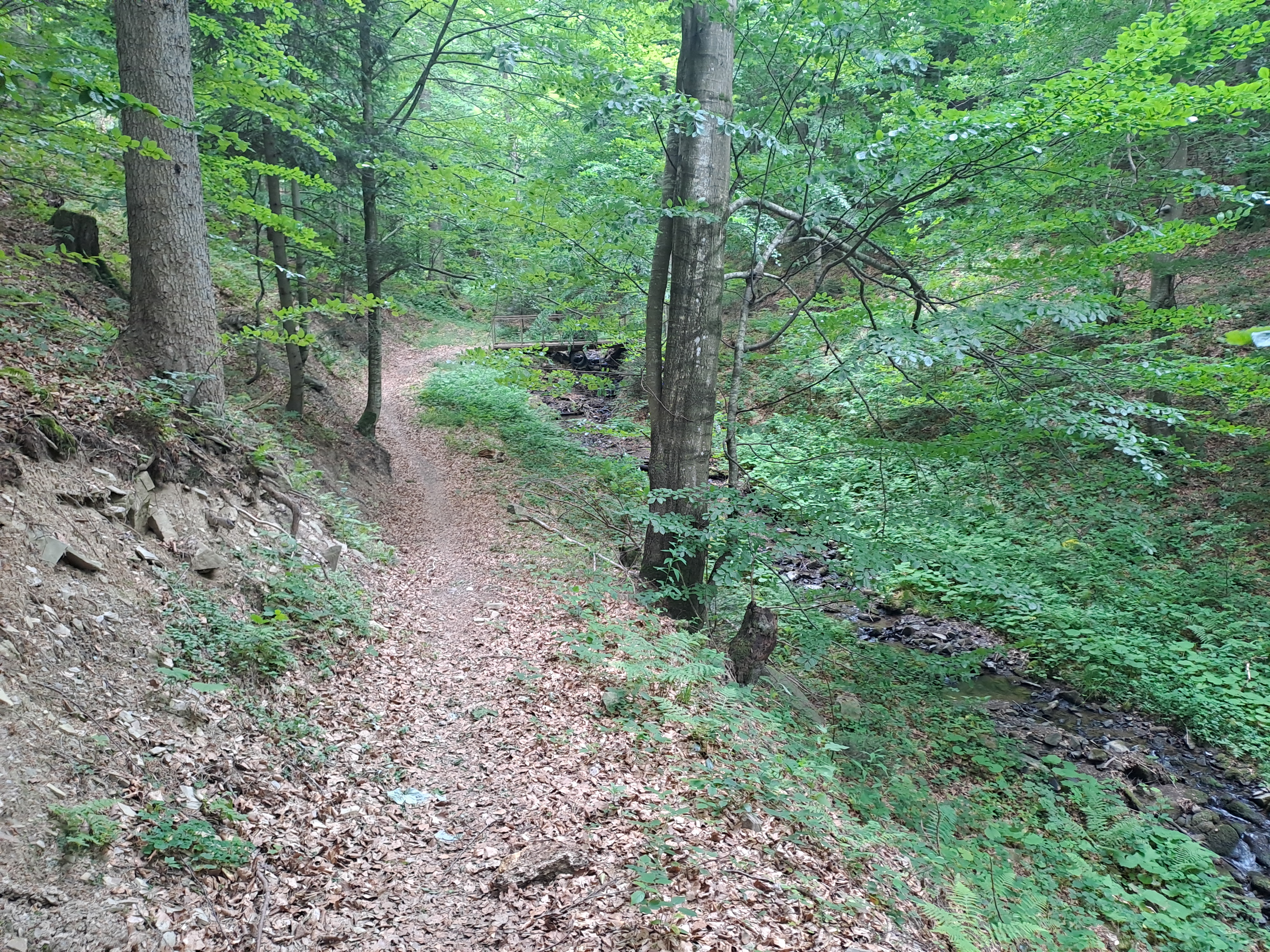
Trasa w większości szutrowa. Przepiękne widoczki. Objeżdżamy cały masyw Hyrlaty.
- -:--
- Duration
- 29.1 km
- Distance
- 491 m
- Ascent
- 492 m
- Descent
- ---
- Avg. speed
- ---
- Max. altitude
Route quality
Waytypes & surfaces along the route
Waytypes
Track
13.2 km
(45 %)
Quiet road
11.5 km
(39 %)
Surfaces
Paved
15.9 km
(55 %)
Unpaved
12.8 km
(44 %)
Asphalt
14.7 km
(51 %)
Gravel
10.2 km
(35 %)
Route highlights
Points of interest along the route
Point of interest after 2.9 km
Stacja Bieszczadzkiej Kolei Wąskotorowej w Majdanie.
Point of interest after 2.9 km
Continue with Bikemap
Use, edit, or download this cycling route
You would like to ride Dookoła Masywu Hyrlatej. or customize it for your own trip? Here is what you can do with this Bikemap route:
Free features
- Save this route as favorite or in collections
- Copy & plan your own version of this route
- Sync your route with Garmin or Wahoo
Premium features
Free trial for 3 days, or one-time payment. More about Bikemap Premium.
- Navigate this route on iOS & Android
- Export a GPX / KML file of this route
- Create your custom printout (try it for free)
- Download this route for offline navigation
Discover more Premium features.
Get Bikemap PremiumFrom our community
Other popular routes starting in Cisna
 Cisna - Fereczata i Okrąglik
- Distance
- 34 km
- Ascent
- 790 m
- Descent
- 790 m
- Location
- Cisna, Subcarpathian Voivodeship, Poland
 Trasa Cisna - Ustrzyki Dolne
- Distance
- 51.1 km
- Ascent
- 515 m
- Descent
- 611 m
- Location
- Cisna, Subcarpathian Voivodeship, Poland
 Pętla bieszczadzka
- Distance
- 100.8 km
- Ascent
- 1,157 m
- Descent
- 1,156 m
- Location
- Cisna, Subcarpathian Voivodeship, Poland
 k pod Honem
- Distance
- 13.6 km
- Ascent
- 460 m
- Descent
- 469 m
- Location
- Cisna, Subcarpathian Voivodeship, Poland
 ride from Pastviny to Kalnica
- Distance
- 21.2 km
- Ascent
- 305 m
- Descent
- 303 m
- Location
- Cisna, Subcarpathian Voivodeship, Poland
 Zubracze - Balnica - Maniow - Zubracze
- Distance
- 19 km
- Ascent
- 327 m
- Descent
- 327 m
- Location
- Cisna, Subcarpathian Voivodeship, Poland
 kalnica-zatwarnica-przeł. orłowicza-jaworzec-kalnica
- Distance
- 40.9 km
- Ascent
- 967 m
- Descent
- 967 m
- Location
- Cisna, Subcarpathian Voivodeship, Poland
 Smerek Cisna
- Distance
- 31.7 km
- Ascent
- 977 m
- Descent
- 969 m
- Location
- Cisna, Subcarpathian Voivodeship, Poland
Open it in the app