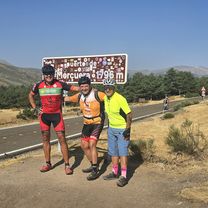
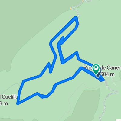
canencia (morcuera) regajo
- 54.7 km
- 1,386 m
- 1,386 m
- Canencia, Madrid, Spain
A cycling route starting in Canencia, Madrid, Spain.
Overview
From the village of Canencia, take the road to the pass. After about five kilometers, just past the river bend, take the track on the right. This track climbs with steep ramps. First left turn, and at a junction, take a rocky branch straight ahead. Another turn to the right and along a firebreak to the wide track that connects Morcuera with the Canencia pass. We reach the pass and descend via the road.
created this 15 years ago
Route quality
Track
16.4 km
(55 %)
Road
12.8 km
(43 %)
Quiet road
0.6 km
(2 %)
Unpaved
16.4 km
(55 %)
Ground
16.4 km
(55 %)
Undefined
13.4 km
(45 %)
Continue with Bikemap
You would like to ride Pinares de Canencia or customize it for your own trip? Here is what you can do with this Bikemap route:
Free trial for 3 days, or one-time payment. More about Bikemap Premium.
Discover more Premium features.
Get Bikemap PremiumFrom our community
Open it in the app