

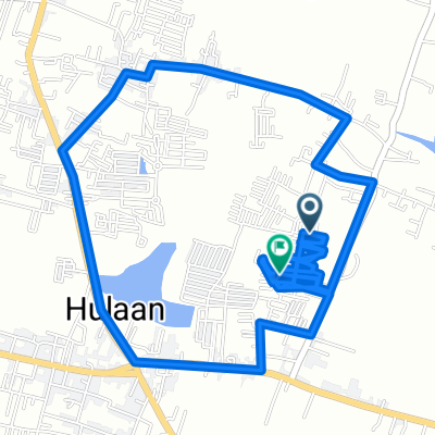
Slow ride in Kecamatan Menganti
A cycling route starting in Driyorejo, East Java, Indonesia.
Overview
About this route
- 1 h 37 min
- Duration
- 19.7 km
- Distance
- 312 m
- Ascent
- 315 m
- Descent
- 12.1 km/h
- Avg. speed
- ---
- Max. altitude

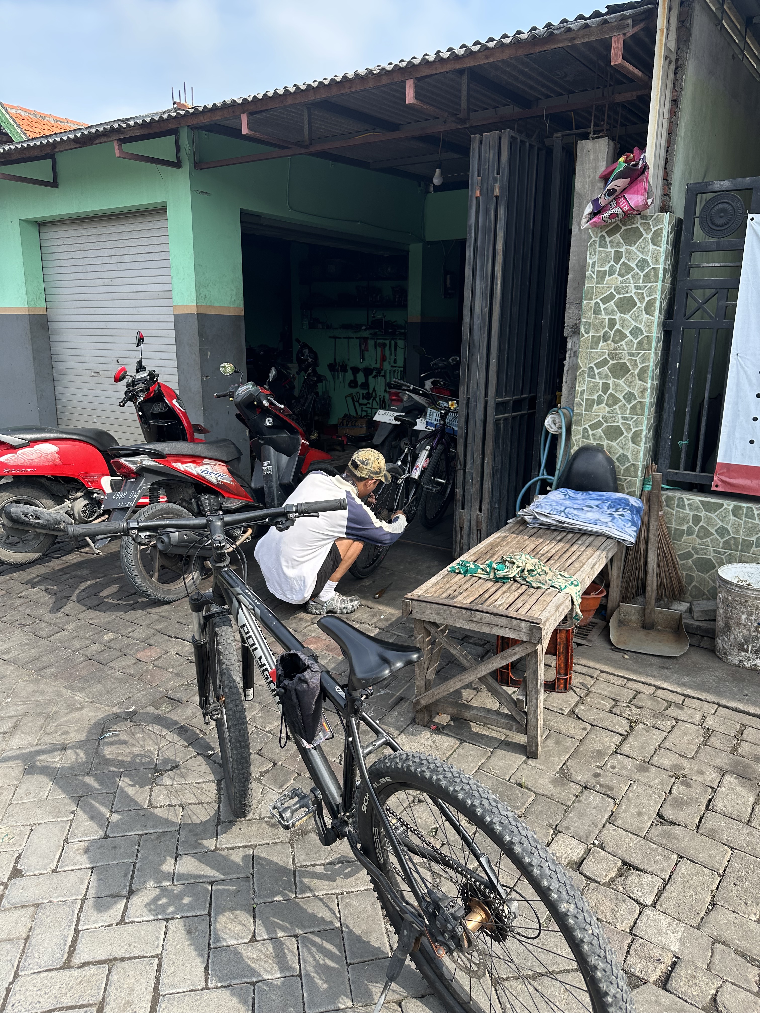
Route photos


Continue with Bikemap
Use, edit, or download this cycling route
You would like to ride Slow ride in Kecamatan Menganti or customize it for your own trip? Here is what you can do with this Bikemap route:
Free features
- Save this route as favorite or in collections
- Copy & plan your own version of this route
- Sync your route with Garmin or Wahoo
Premium features
Free trial for 3 days, or one-time payment. More about Bikemap Premium.
- Navigate this route on iOS & Android
- Export a GPX / KML file of this route
- Create your custom printout (try it for free)
- Download this route for offline navigation
Discover more Premium features.
Get Bikemap PremiumFrom our community
Other popular routes starting in Driyorejo
 Jalan Lidah Wetan Gang IV 9a, Kecamatan Lakarsantri to Jalan Lidah Wetan Gang IV 13, Kecamatan Lakarsantri
- Distance
- 10.7 km
- Ascent
- 232 m
- Descent
- 231 m
- Location
- Driyorejo, East Java, Indonesia
 Jalan Raya Bangkingan 132-74, Kecamatan Lakarsantri to Bangkingan, Kecamatan Lakarsantri
- Distance
- 35.5 km
- Ascent
- 280 m
- Descent
- 267 m
- Location
- Driyorejo, East Java, Indonesia
 Menganti, Kabupaten Gresik to Menganti, Kabupaten Gresik
- Distance
- 17 km
- Ascent
- 92 m
- Descent
- 94 m
- Location
- Driyorejo, East Java, Indonesia
 manukan
- Distance
- 3.6 km
- Ascent
- 26 m
- Descent
- 44 m
- Location
- Driyorejo, East Java, Indonesia
 Driyorejo Cycling
- Distance
- 10.5 km
- Ascent
- 26 m
- Descent
- 26 m
- Location
- Driyorejo, East Java, Indonesia
 Slow ride in Kecamatan Menganti
- Distance
- 19.7 km
- Ascent
- 312 m
- Descent
- 315 m
- Location
- Driyorejo, East Java, Indonesia
 Citraland-Pakuwon
- Distance
- 12 km
- Ascent
- 436 m
- Descent
- 433 m
- Location
- Driyorejo, East Java, Indonesia
 Jalan Villa Taman Gapura No. 36, Surabaya to Jalan Raya Lontar PLN, Surabaya
- Distance
- 3.5 km
- Ascent
- 19 m
- Descent
- 21 m
- Location
- Driyorejo, East Java, Indonesia
Open it in the app