

Takao -> Fuji
A cycling route starting in Hachiōji, Tokyo, Japan.
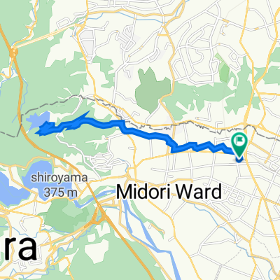
Overview
About this route
First draft, just outling the basic route first
- -:--
- Duration
- 179.7 km
- Distance
- 1,792 m
- Ascent
- 1,948 m
- Descent
- ---
- Avg. speed
- ---
- Max. altitude

Route quality
Waytypes & surfaces along the route
Waytypes
Quiet road
70.1 km
(39 %)
Road
39.5 km
(22 %)
Surfaces
Paved
26.9 km
(15 %)
Paved (undefined)
18 km
(10 %)
Asphalt
9 km
(5 %)
Undefined
152.7 km
(85 %)
Continue with Bikemap
Use, edit, or download this cycling route
You would like to ride Takao -> Fuji or customize it for your own trip? Here is what you can do with this Bikemap route:
Free features
- Save this route as favorite or in collections
- Copy & plan your own version of this route
- Split it into stages to create a multi-day tour
- Sync your route with Garmin or Wahoo
Premium features
Free trial for 3 days, or one-time payment. More about Bikemap Premium.
- Navigate this route on iOS & Android
- Export a GPX / KML file of this route
- Create your custom printout (try it for free)
- Download this route for offline navigation
Discover more Premium features.
Get Bikemap PremiumFrom our community
Other popular routes starting in Hachiōji
 Tokyo to Nigata (V2)
- Distance
- 495.1 km
- Ascent
- 2,431 m
- Descent
- 2,548 m
- Location
- Hachiōji, Tokyo, Japan
 Camino a Mt. Fuji
- Distance
- 82.3 km
- Ascent
- 1,159 m
- Descent
- 437 m
- Location
- Hachiōji, Tokyo, Japan
 Sakai-Gawa(境川をはしる, 相原駅>藤沢駅)
- Distance
- 63.4 km
- Ascent
- 328 m
- Descent
- 304 m
- Location
- Hachiōji, Tokyo, Japan
 トレランぼんぼり林道
- Distance
- 45.7 km
- Ascent
- 922 m
- Descent
- 922 m
- Location
- Hachiōji, Tokyo, Japan
 2丁目, 八王子市 to 1290−1, 相模原市
- Distance
- 15 km
- Ascent
- 401 m
- Descent
- 436 m
- Location
- Hachiōji, Tokyo, Japan
 西橋本5丁目2-12, 相模原市緑区 to 西橋本5丁目2, 相模原市緑区
- Distance
- 16.1 km
- Ascent
- 257 m
- Descent
- 253 m
- Location
- Hachiōji, Tokyo, Japan
 2010-Jun-11 Yamanaka-Lake
- Distance
- 109.4 km
- Ascent
- 1,631 m
- Descent
- 1,757 m
- Location
- Hachiōji, Tokyo, Japan
 Omote Odarumi pass
- Distance
- 9.8 km
- Ascent
- 493 m
- Descent
- 488 m
- Location
- Hachiōji, Tokyo, Japan
Open it in the app