Kolesarjenje z Igorjem 2025
- 231.2 km
- 5,710 m
- 5,714 m
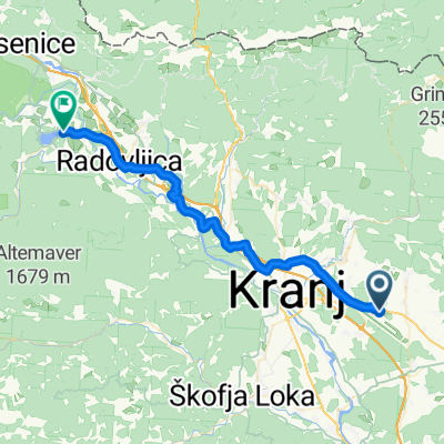
- Šenčur, Občina Šenčur, Slovenia
A cycling route starting in Šenčur, Občina Šenčur, Slovenia.
Overview
Šenčur - Čirče - Drulovka - by the railway - Breg - Podreča - Dragočajna - Trboje - Voklo - Voglje - near the airport - Šenčur
created this 5 years ago
Route quality
Quiet road
15.7 km
(42 %)
Road
12.7 km
(34 %)
Paved
32.5 km
(87 %)
Unpaved
4.1 km
(11 %)
Asphalt
31 km
(83 %)
Unpaved (undefined)
3 km
(8 %)
Continue with Bikemap
You would like to ride zbilje - 2020 or customize it for your own trip? Here is what you can do with this Bikemap route:
Free trial for 3 days, or one-time payment. More about Bikemap Premium.
Discover more Premium features.
Get Bikemap PremiumFrom our community
Open it in the app