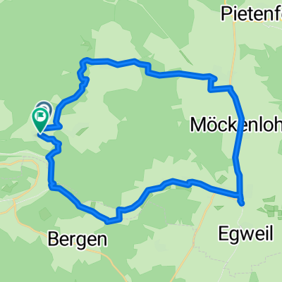
Hard-Adelschlag-Hard
- 27.9 km
- 425 m
- 427 m
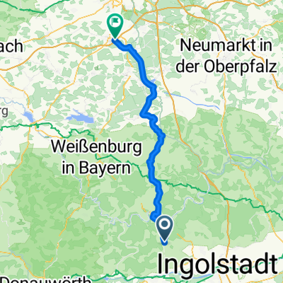
- Adelschlag, Bavaria, Germany
A cycling route starting in Adelschlag, Bavaria, Germany.
Overview
created this 5 years ago
Route quality
Quiet road
37.9 km
(34 %)
Road
25.6 km
(23 %)
Paved
89.1 km
(80 %)
Unpaved
14.5 km
(13 %)
Asphalt
89.1 km
(80 %)
Gravel
13.4 km
(12 %)
Continue with Bikemap
You would like to ride Kinding Nennslingen Wasserzell or customize it for your own trip? Here is what you can do with this Bikemap route:
Free trial for 3 days, or one-time payment. More about Bikemap Premium.
Discover more Premium features.
Get Bikemap PremiumFrom our community
Open it in the app