Paseo lento en Los Reyes Acaquilpan
A cycling route starting in Arenal, Estado de México, Mexico.
Overview
About this route
- 1 h 4 min
- Duration
- 4.3 km
- Distance
- 109 m
- Ascent
- 28 m
- Descent
- 4 km/h
- Avg. speed
- ---
- Avg. speed
Continue with Bikemap
Use, edit, or download this cycling route
You would like to ride Paseo lento en Los Reyes Acaquilpan or customize it for your own trip? Here is what you can do with this Bikemap route:
Free features
- Save this route as favorite or in collections
- Copy & plan your own version of this route
- Sync your route with Garmin or Wahoo
Premium features
Free trial for 3 days, or one-time payment. More about Bikemap Premium.
- Navigate this route on iOS & Android
- Export a GPX / KML file of this route
- Create your custom printout (try it for free)
- Download this route for offline navigation
Discover more Premium features.
Get Bikemap PremiumFrom our community
Other popular routes starting in Arenal
- De Carretera Federal México-Texcoco 128, Chicoloapan de Juárez a Cerrada Segunda Cerrada Toluca 4, San Juan Ixtayopan
- Distance
- 24.9 km
- Ascent
- 163 m
- Descent
- 88 m
- Location
- Arenal, Estado de México, Mexico
- De Yautepec 4A a Oaxtepec LT3
- Distance
- 14.7 km
- Ascent
- 124 m
- Descent
- 122 m
- Location
- Arenal, Estado de México, Mexico
- Ruta rápida en Ciudad de México
- Distance
- 32 km
- Ascent
- 247 m
- Descent
- 249 m
- Location
- Arenal, Estado de México, Mexico
- Paseo lento en Los Reyes Acaquilpan
- Distance
- 4.3 km
- Ascent
- 109 m
- Descent
- 28 m
- Location
- Arenal, Estado de México, Mexico
- Calle RĂo Grande 10, Chimalhuacán a Calle RĂo Grande 10, Chimalhuacán
- Distance
- 12.7 km
- Ascent
- 357 m
- Descent
- 355 m
- Location
- Arenal, Estado de México, Mexico
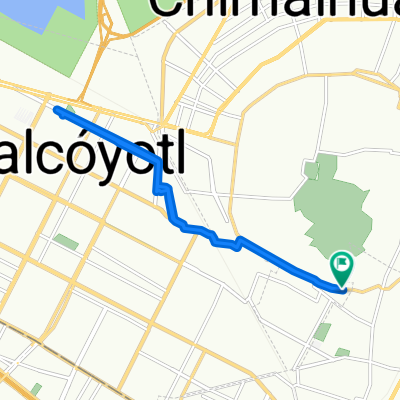
- Ruta desde Avenida Coahuila LT6, Chimalhuacán
- Distance
- 27.8 km
- Ascent
- 513 m
- Descent
- 172 m
- Location
- Arenal, Estado de México, Mexico
- Ruta relajada en Tlalnepantla de Baz
- Distance
- 5.8 km
- Ascent
- 56 m
- Descent
- 41 m
- Location
- Arenal, Estado de México, Mexico
- Carretera México-Texcoco, Chimalhuacán a Temamatla - Zona Militar, Temamatla
- Distance
- 33.1 km
- Ascent
- 99 m
- Descent
- 82 m
- Location
- Arenal, Estado de México, Mexico
Open it in the app