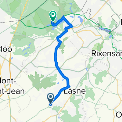
Itinéraire facile en
A cycling route starting in Basse Lasne, Wallonia, Belgium.
Overview
About this route
- 1 h 5 min
- Duration
- 13.7 km
- Distance
- 298 m
- Ascent
- 319 m
- Descent
- 12.7 km/h
- Avg. speed
- ---
- Avg. speed
Continue with Bikemap
Use, edit, or download this cycling route
You would like to ride Itinéraire facile en or customize it for your own trip? Here is what you can do with this Bikemap route:
Free features
- Save this route as favorite or in collections
- Copy & plan your own version of this route
- Sync your route with Garmin or Wahoo
Premium features
Free trial for 3 days, or one-time payment. More about Bikemap Premium.
- Navigate this route on iOS & Android
- Export a GPX / KML file of this route
- Create your custom printout (try it for free)
- Download this route for offline navigation
Discover more Premium features.
Get Bikemap PremiumFrom our community
Other popular routes starting in Basse Lasne
- J 'arrive
- Distance
- 1,530 km
- Ascent
- 954 m
- Descent
- 873 m
- Location
- Basse Lasne, Wallonia, Belgium
- De Place Communale 19, Lasne à Place Communale 19, Lasne
- Distance
- 12.2 km
- Ascent
- 245 m
- Descent
- 245 m
- Location
- Basse Lasne, Wallonia, Belgium
- Abbaye Viller-La-Ville
- Distance
- 33.4 km
- Ascent
- 395 m
- Descent
- 397 m
- Location
- Basse Lasne, Wallonia, Belgium
- Boucles de Lasne
- Distance
- 38 km
- Ascent
- 410 m
- Descent
- 410 m
- Location
- Basse Lasne, Wallonia, Belgium
- Lasne Nyons depart 09/07
- Distance
- 3,991 km
- Ascent
- 6,844 m
- Descent
- 6,642 m
- Location
- Basse Lasne, Wallonia, Belgium
- Ohain
- Distance
- 11.3 km
- Ascent
- 165 m
- Descent
- 172 m
- Location
- Basse Lasne, Wallonia, Belgium
- Route vignoble Glabais
- Distance
- 19.8 km
- Ascent
- 213 m
- Descent
- 230 m
- Location
- Basse Lasne, Wallonia, Belgium
- Glabais
- Distance
- 27.3 km
- Ascent
- 278 m
- Descent
- 282 m
- Location
- Basse Lasne, Wallonia, Belgium
Open it in the app