
a1 Les étangs de la Dombes au départ de St André
A cycling route starting in Saint-André-de-Corcy, Auvergne-Rhône-Alpes, France.
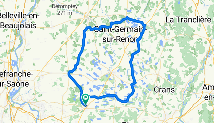
Overview
About this route
Very flat course, enlivened by numerous ponds along the way; great picnic opportunity by the large ponds between St André le Bouchoux and St Paul; picnic tables at the Notre Dame des Dombes Abbey and at the Versailleux pond.
- -:--
- Duration
- 74.3 km
- Distance
- 112 m
- Ascent
- 112 m
- Descent
- ---
- Avg. speed
- ---
- Max. altitude

Route quality
Waytypes & surfaces along the route
Waytypes
Road
44.6 km
(60 %)
Quiet road
23 km
(31 %)
Undefined
6.7 km
(9 %)
Surfaces
Paved
19.3 km
(26 %)
Asphalt
19.3 km
(26 %)
Undefined
55 km
(74 %)
Continue with Bikemap
Use, edit, or download this cycling route
You would like to ride a1 Les étangs de la Dombes au départ de St André or customize it for your own trip? Here is what you can do with this Bikemap route:
Free features
- Save this route as favorite or in collections
- Copy & plan your own version of this route
- Sync your route with Garmin or Wahoo
Premium features
Free trial for 3 days, or one-time payment. More about Bikemap Premium.
- Navigate this route on iOS & Android
- Export a GPX / KML file of this route
- Create your custom printout (try it for free)
- Download this route for offline navigation
Discover more Premium features.
Get Bikemap PremiumFrom our community
Other popular routes starting in Saint-André-de-Corcy
 a1 La Dombes au départ de St Jean (bis)
- Distance
- 31.1 km
- Ascent
- 61 m
- Descent
- 59 m
- Location
- Saint-André-de-Corcy, Auvergne-Rhône-Alpes, France
 De D1083 405, Saint-Marcel à Chemin de la Tuillière 34, Saint-Marcel
- Distance
- 26.9 km
- Ascent
- 135 m
- Descent
- 132 m
- Location
- Saint-André-de-Corcy, Auvergne-Rhône-Alpes, France
 Le tour des Dombes
- Distance
- 116.1 km
- Ascent
- 302 m
- Descent
- 300 m
- Location
- Saint-André-de-Corcy, Auvergne-Rhône-Alpes, France
 sortie du samedi 20 fevrier
- Distance
- 32.1 km
- Ascent
- 4 m
- Descent
- 9 m
- Location
- Saint-André-de-Corcy, Auvergne-Rhône-Alpes, France
 L'arbresle +
- Distance
- 44.6 km
- Ascent
- 187 m
- Descent
- 249 m
- Location
- Saint-André-de-Corcy, Auvergne-Rhône-Alpes, France
 z Tour au départ de St Marcel
- Distance
- 47.3 km
- Ascent
- 77 m
- Descent
- 72 m
- Location
- Saint-André-de-Corcy, Auvergne-Rhône-Alpes, France
 petit parcours entraînement
- Distance
- 24.1 km
- Ascent
- 243 m
- Descent
- 243 m
- Location
- Saint-André-de-Corcy, Auvergne-Rhône-Alpes, France
 08780-0531-StAndreDeCorcy-VillarsLesDombes-StNizierLeDesert-DompierreSurVeyle-ChatillonLaPalud-RignieuxLeFranc-LaGlaye-LeMontellier-StAndreDeCorcy
- Distance
- 85.6 km
- Ascent
- 380 m
- Descent
- 382 m
- Location
- Saint-André-de-Corcy, Auvergne-Rhône-Alpes, France
Open it in the app