

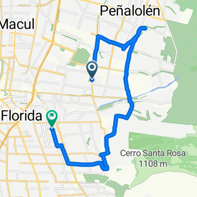
Licenciado de las Peñas 5092–5176, Ñuñoa to California 2537, Providencia
A cycling route starting in Villa Presidente Frei, Santiago Metropolitan, Chile.
Overview
About this route
- 28 min
- Duration
- 4.3 km
- Distance
- 18 m
- Ascent
- 17 m
- Descent
- 9.2 km/h
- Avg. speed
- ---
- Max. altitude

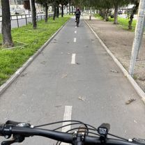
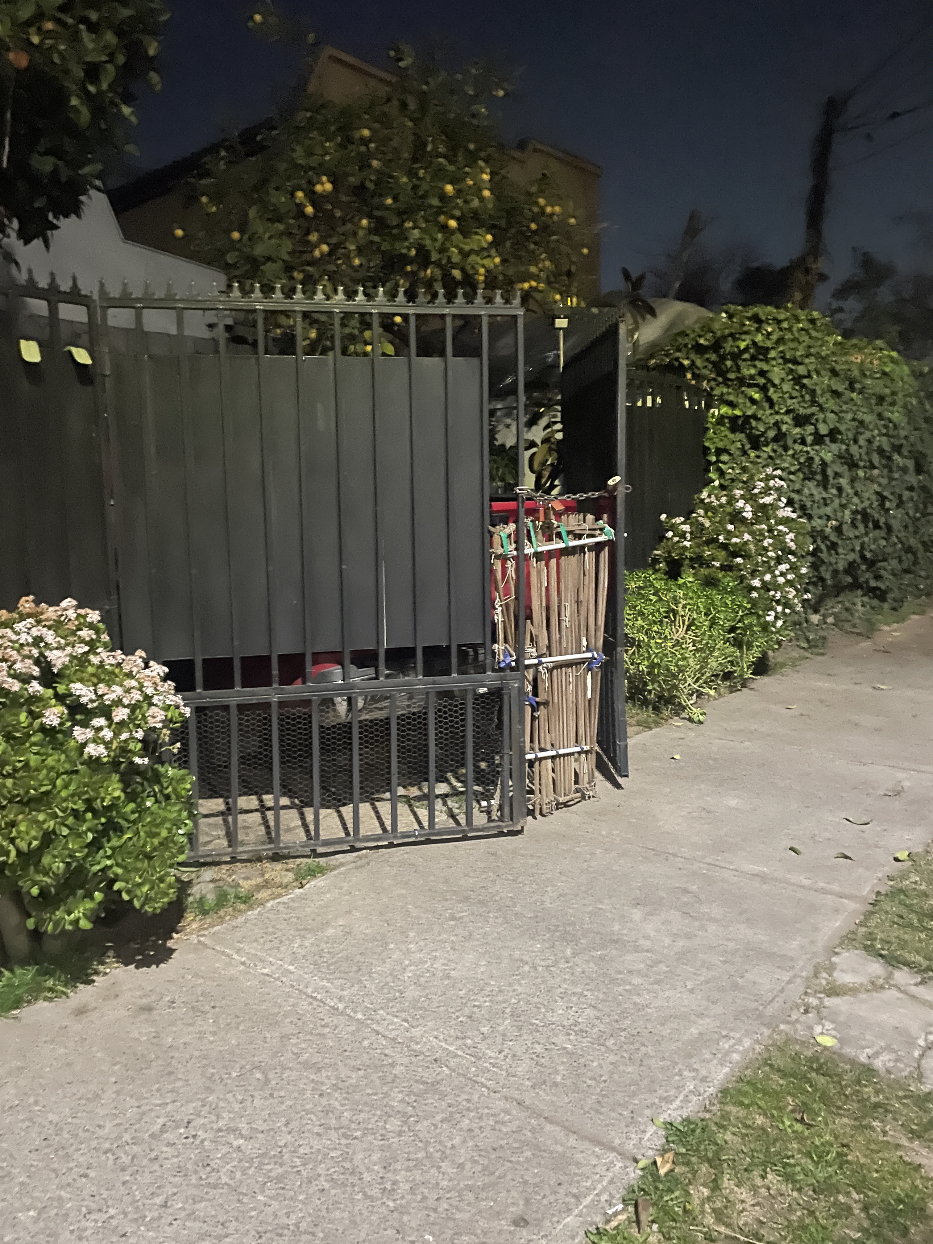
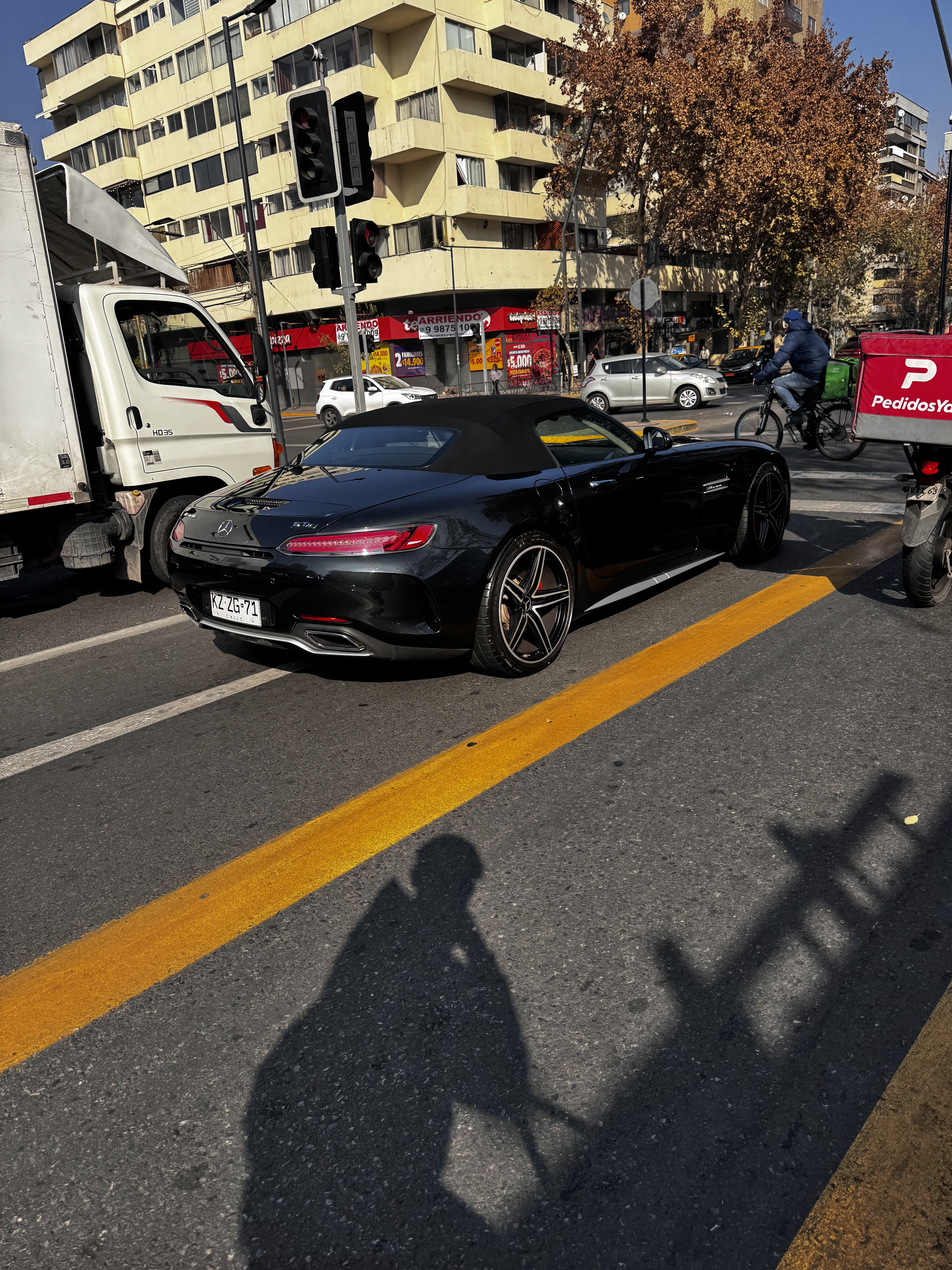
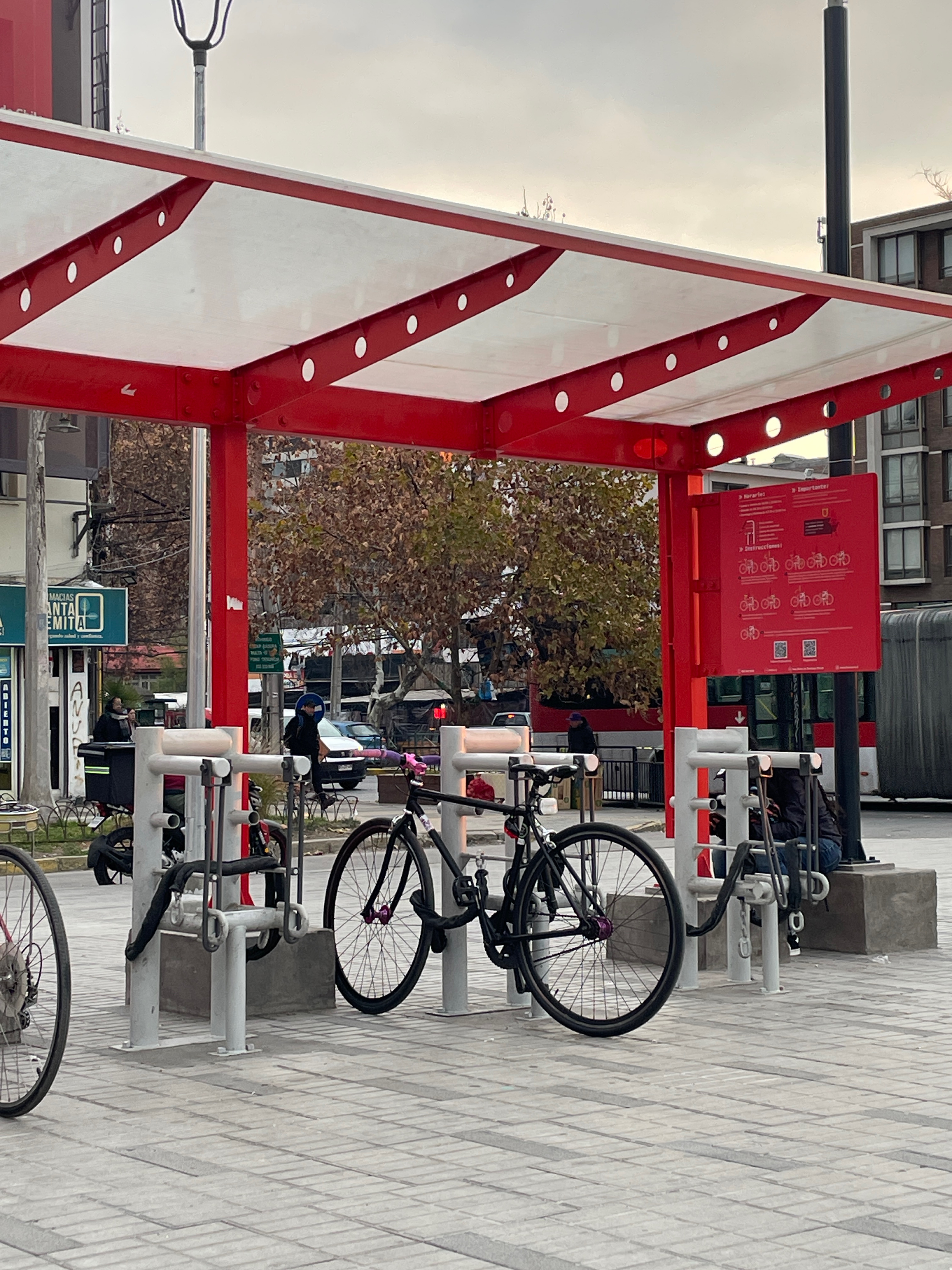
Route photos

Route quality
Waytypes & surfaces along the route
Waytypes
Road
1.2 km
(28 %)
Cycleway
1.1 km
(26 %)
Surfaces
Paved
3 km
(71 %)
Concrete
2.1 km
(50 %)
Asphalt
0.7 km
(17 %)
Continue with Bikemap
Use, edit, or download this cycling route
You would like to ride Licenciado de las Peñas 5092–5176, Ñuñoa to California 2537, Providencia or customize it for your own trip? Here is what you can do with this Bikemap route:
Free features
- Save this route as favorite or in collections
- Copy & plan your own version of this route
- Sync your route with Garmin or Wahoo
Premium features
Free trial for 3 days, or one-time payment. More about Bikemap Premium.
- Navigate this route on iOS & Android
- Export a GPX / KML file of this route
- Create your custom printout (try it for free)
- Download this route for offline navigation
Discover more Premium features.
Get Bikemap PremiumFrom our community
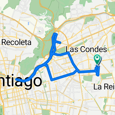
Other popular routes starting in Villa Presidente Frei
 Jardín Alto, La Florida a Jardín Alto, La Florida
- Distance
- 7.6 km
- Ascent
- 30 m
- Descent
- 31 m
- Location
- Villa Presidente Frei, Santiago Metropolitan, Chile
 Estadio Colo Colo, Macul a Don Pepe, La Florida
- Distance
- 19.7 km
- Ascent
- 100 m
- Descent
- 71 m
- Location
- Villa Presidente Frei, Santiago Metropolitan, Chile
 Los Olmos, Macul to Los Olmos, Macul
- Distance
- 17.7 km
- Ascent
- 137 m
- Descent
- 144 m
- Location
- Villa Presidente Frei, Santiago Metropolitan, Chile
 Capitán Orella, Ñuñoa a Nahuelbuta, Conchalí
- Distance
- 14.5 km
- Ascent
- 92 m
- Descent
- 161 m
- Location
- Villa Presidente Frei, Santiago Metropolitan, Chile
 De Avenida Tobalaba a Avenida México
- Distance
- 17.8 km
- Ascent
- 975 m
- Descent
- 1,042 m
- Location
- Villa Presidente Frei, Santiago Metropolitan, Chile
 Ruta del Cóndor
- Distance
- 135.3 km
- Ascent
- 2,117 m
- Descent
- 2,115 m
- Location
- Villa Presidente Frei, Santiago Metropolitan, Chile
 Los Olmos, Macul to Los Olmos, Macul
- Distance
- 8.1 km
- Ascent
- 91 m
- Descent
- 69 m
- Location
- Villa Presidente Frei, Santiago Metropolitan, Chile
 Río de La Plata, Las Condes a Río de La Plata, Las Condes
- Distance
- 39.9 km
- Ascent
- 266 m
- Descent
- 257 m
- Location
- Villa Presidente Frei, Santiago Metropolitan, Chile
Open it in the app