

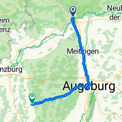
Frankenland-Südlicher Zipfel
A cycling route starting in Donauwörth, Bavaria, Germany.
Overview
About this route
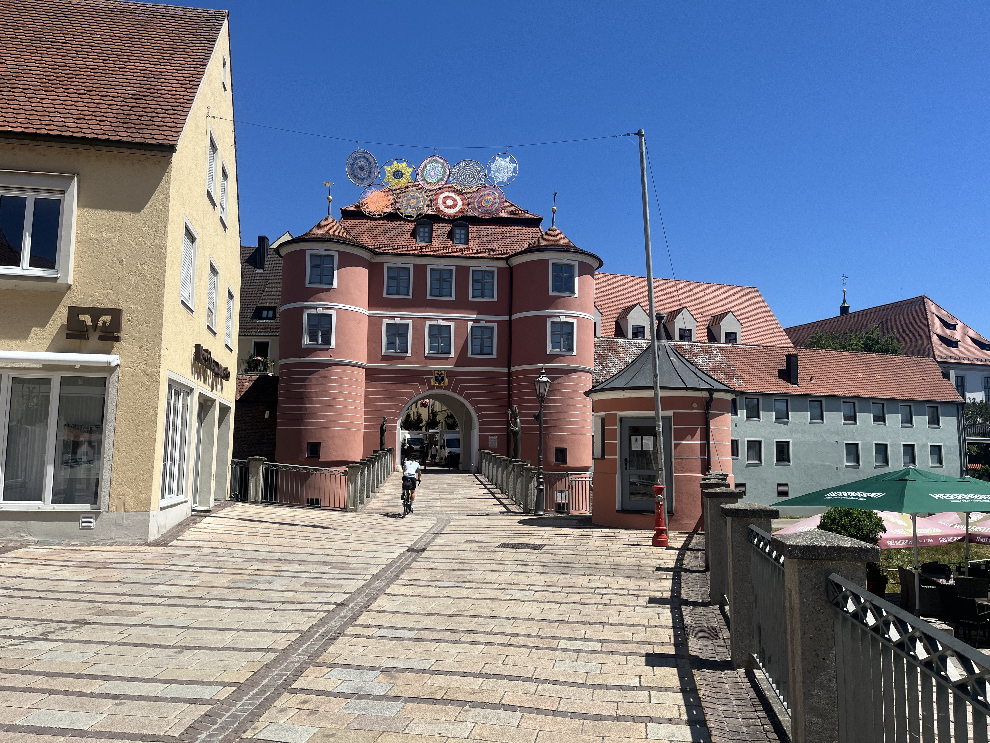
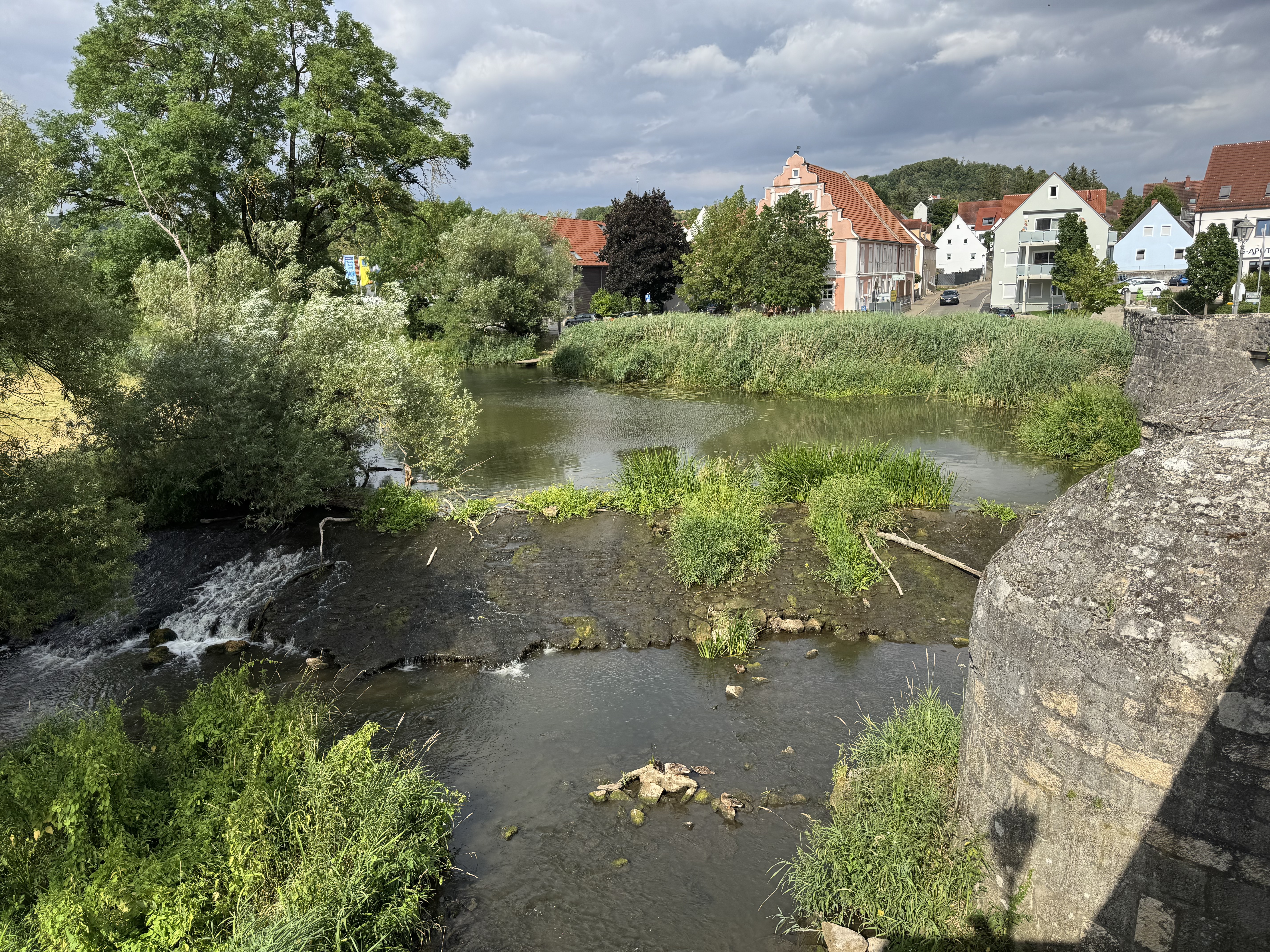
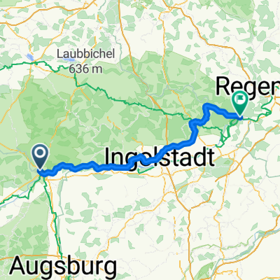
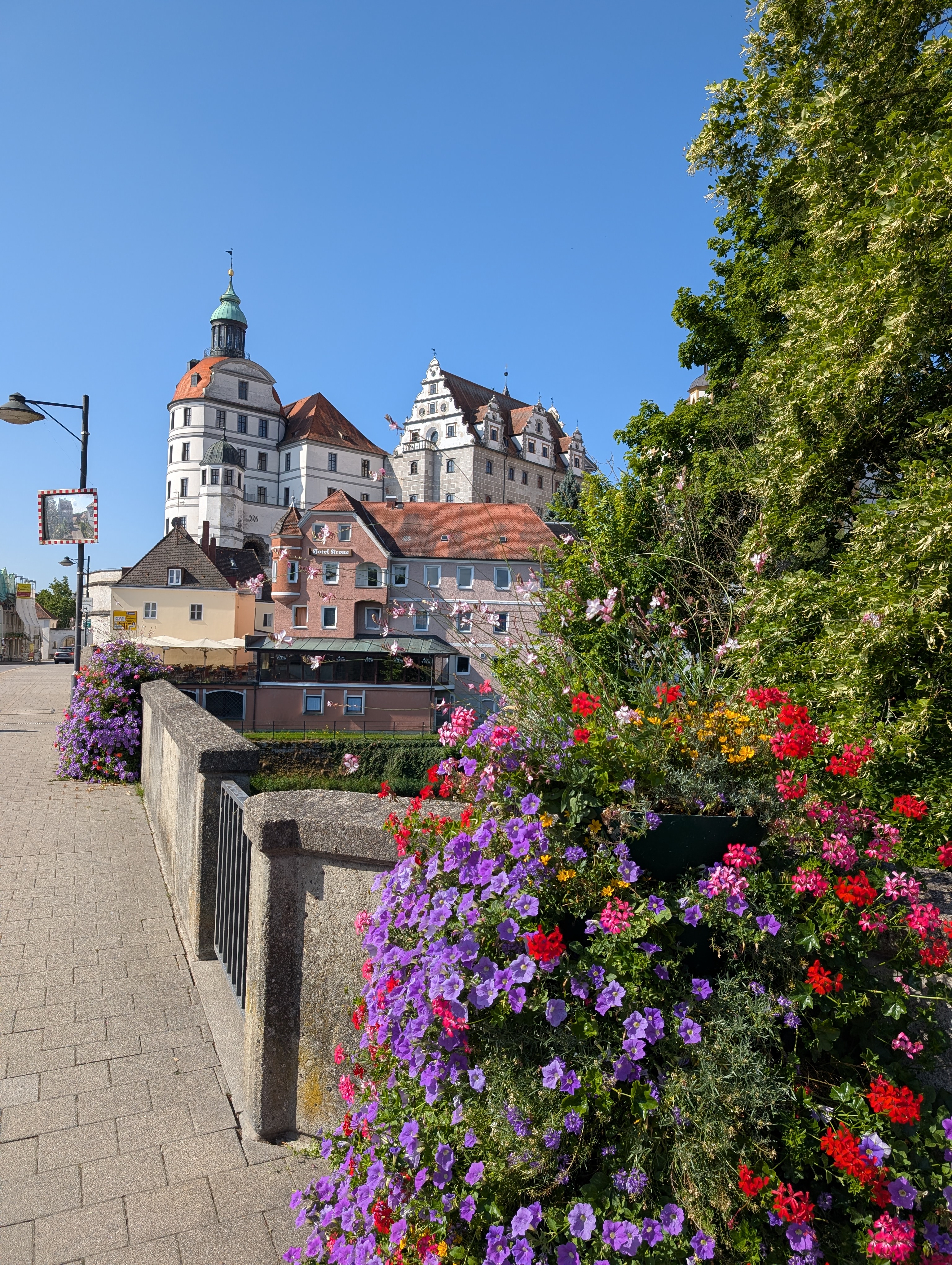
In the southernmost tip of Franconia, several high-quality cycling routes intersect and merge. The landscape has a partly medieval feel. The villages are charming, and the gastronomy is culinary and rural. (Tour description at: thod_er@gmx.de)
- -:--
- Duration
- 57.4 km
- Distance
- 504 m
- Ascent
- 505 m
- Descent
- ---
- Avg. speed
- ---
- Max. altitude
Route quality
Waytypes & surfaces along the route
Waytypes
Quiet road
17.2 km
(30 %)
Track
17.2 km
(30 %)
Surfaces
Paved
43.7 km
(76 %)
Unpaved
6.9 km
(12 %)
Asphalt
41.4 km
(72 %)
Gravel
5.7 km
(10 %)
Continue with Bikemap
Use, edit, or download this cycling route
You would like to ride Frankenland-Südlicher Zipfel or customize it for your own trip? Here is what you can do with this Bikemap route:
Free features
- Save this route as favorite or in collections
- Copy & plan your own version of this route
- Sync your route with Garmin or Wahoo
Premium features
Free trial for 3 days, or one-time payment. More about Bikemap Premium.
- Navigate this route on iOS & Android
- Export a GPX / KML file of this route
- Create your custom printout (try it for free)
- Download this route for offline navigation
Discover more Premium features.
Get Bikemap PremiumFrom our community
Other popular routes starting in Donauwörth
 Bahnhofstraße, Donauwörth to Mündlinger Straße, Harburg
- Distance
- 15.5 km
- Ascent
- 136 m
- Descent
- 109 m
- Location
- Donauwörth, Bavaria, Germany
 Vorschlag Tag 4 August 2025
- Distance
- 86.5 km
- Ascent
- 424 m
- Descent
- 330 m
- Location
- Donauwörth, Bavaria, Germany
 Via Claudia Augusta: Donauwörth (Germany) - Bolzano (Italy)
- Distance
- 431 km
- Ascent
- 4,558 m
- Descent
- 4,686 m
- Location
- Donauwörth, Bavaria, Germany
 Hindenburgstraße, Donauwörth to Baldinger Straße, Nördlingen
- Distance
- 35.7 km
- Ascent
- 190 m
- Descent
- 161 m
- Location
- Donauwörth, Bavaria, Germany
 SARadwag
- Distance
- 422.6 km
- Ascent
- 6,973 m
- Descent
- 6,977 m
- Location
- Donauwörth, Bavaria, Germany
 Donauwurth - Kelheim
- Distance
- 116.7 km
- Ascent
- 751 m
- Descent
- 805 m
- Location
- Donauwörth, Bavaria, Germany
 E6. 10.7.25 Donauwörth nach Ingolstadt
- Distance
- 78.1 km
- Ascent
- 245 m
- Descent
- 332 m
- Location
- Donauwörth, Bavaria, Germany
 Donauwörth - Stadtbergen
- Distance
- 53.5 km
- Ascent
- 142 m
- Descent
- 54 m
- Location
- Donauwörth, Bavaria, Germany
Open it in the app