Tegernsee, Spitzingsee
- 31.5 km
- 815 m
- 815 m
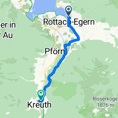
- Rottach-Egern, Bavaria, Germany
A cycling route starting in Rottach-Egern, Bavaria, Germany.
Overview
Beautiful training route with an average gradient of 13.5 % on paved road. Bike and Hike combo with 200 HM at the end to the Setzberg. The descent is not easy due to the gravel path and the many hikers on weekends.
created this 17 years ago
Continue with Bikemap
You would like to ride Setzberg or customize it for your own trip? Here is what you can do with this Bikemap route:
Free trial for 3 days, or one-time payment. More about Bikemap Premium.
Discover more Premium features.
Get Bikemap PremiumFrom our community
Open it in the app