

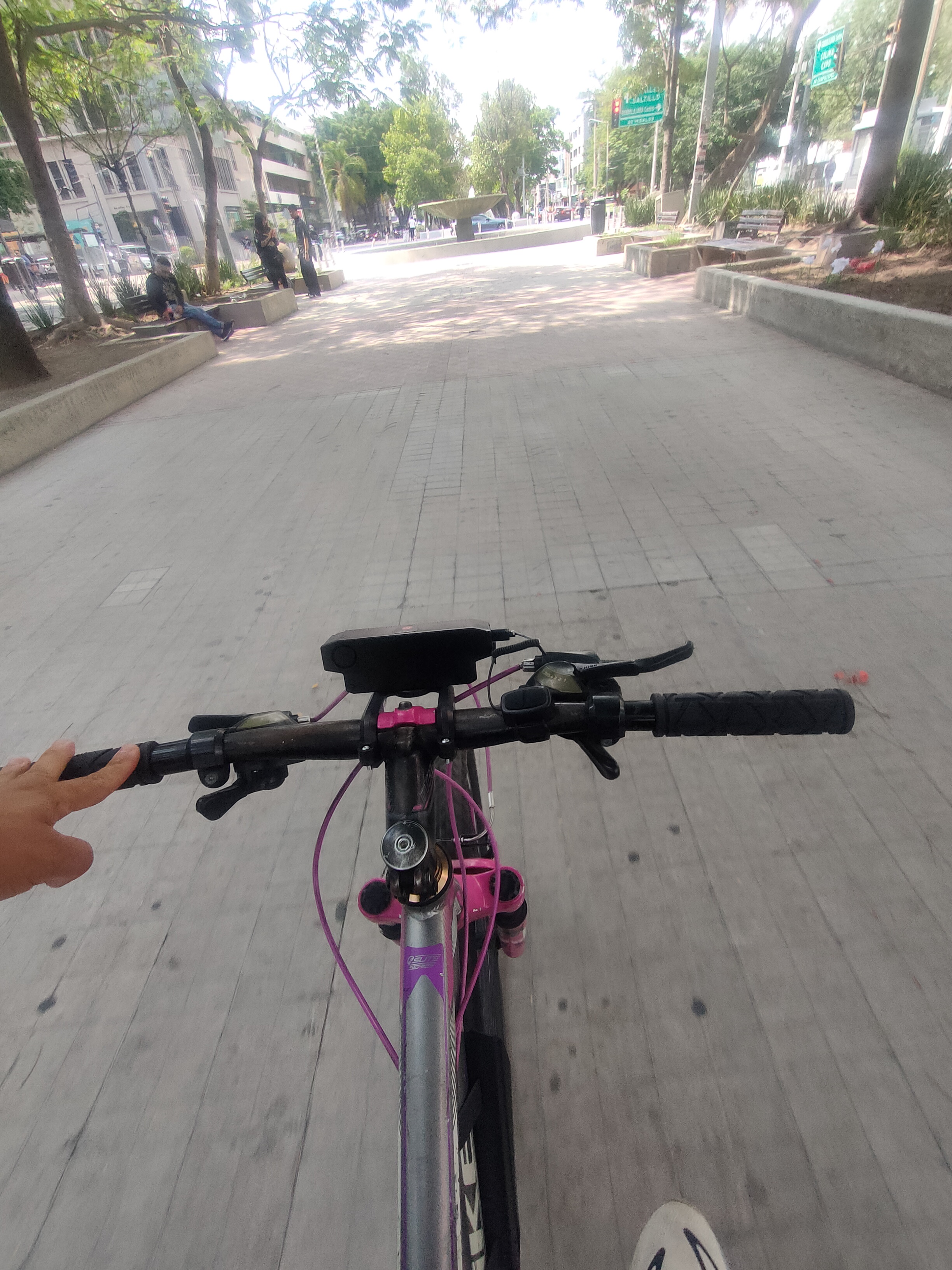
Paseo lento en Guadalajara
A cycling route starting in Zapopan, Jalisco, Mexico.
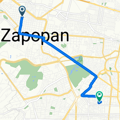
Overview
About this route
- 1 h 8 min
- Duration
- 14.1 km
- Distance
- 288 m
- Ascent
- 286 m
- Descent
- 12.4 km/h
- Avg. speed
- ---
- Max. altitude

Continue with Bikemap
Use, edit, or download this cycling route
You would like to ride Paseo lento en Guadalajara or customize it for your own trip? Here is what you can do with this Bikemap route:
Free features
- Save this route as favorite or in collections
- Copy & plan your own version of this route
- Sync your route with Garmin or Wahoo
Premium features
Free trial for 3 days, or one-time payment. More about Bikemap Premium.
- Navigate this route on iOS & Android
- Export a GPX / KML file of this route
- Create your custom printout (try it for free)
- Download this route for offline navigation
Discover more Premium features.
Get Bikemap PremiumFrom our community
Other popular routes starting in Zapopan
 ruta 1
- Distance
- 9.8 km
- Ascent
- 82 m
- Descent
- 89 m
- Location
- Zapopan, Jalisco, Mexico
 De Juan Antonio de la Fuente a Juan Antonio de la Fuente
- Distance
- 22.5 km
- Ascent
- 284 m
- Descent
- 259 m
- Location
- Zapopan, Jalisco, Mexico
 De Bilbao 2200, Guadalajara a Bilbao 2289, Guadalajara
- Distance
- 14.2 km
- Ascent
- 102 m
- Descent
- 82 m
- Location
- Zapopan, Jalisco, Mexico
 Paseo lento en Guadalajara
- Distance
- 7.4 km
- Ascent
- 44 m
- Descent
- 78 m
- Location
- Zapopan, Jalisco, Mexico
 De Calle Francisco Javier Mujica 951, Guadalajara a Calle Francisco Javier Mujica 947, Guadalajara
- Distance
- 12.1 km
- Ascent
- 113 m
- Descent
- 106 m
- Location
- Zapopan, Jalisco, Mexico
 desde Zapopan
- Distance
- 6.6 km
- Ascent
- 128 m
- Descent
- 69 m
- Location
- Zapopan, Jalisco, Mexico
 Zc a Biblio Jal
- Distance
- 2.6 km
- Ascent
- 0 m
- Descent
- 5 m
- Location
- Zapopan, Jalisco, Mexico
 Calle Puerto Bello 1556–1594, Guadalajara to Calle Rubén Darío 1505, Guadalajara
- Distance
- 4 km
- Ascent
- 22 m
- Descent
- 22 m
- Location
- Zapopan, Jalisco, Mexico
Open it in the app