

Zur Konfirmanden Buche und in den Kellergrund
A cycling route starting in Höchst im Odenwald, Hesse, Germany.
Overview
About this route
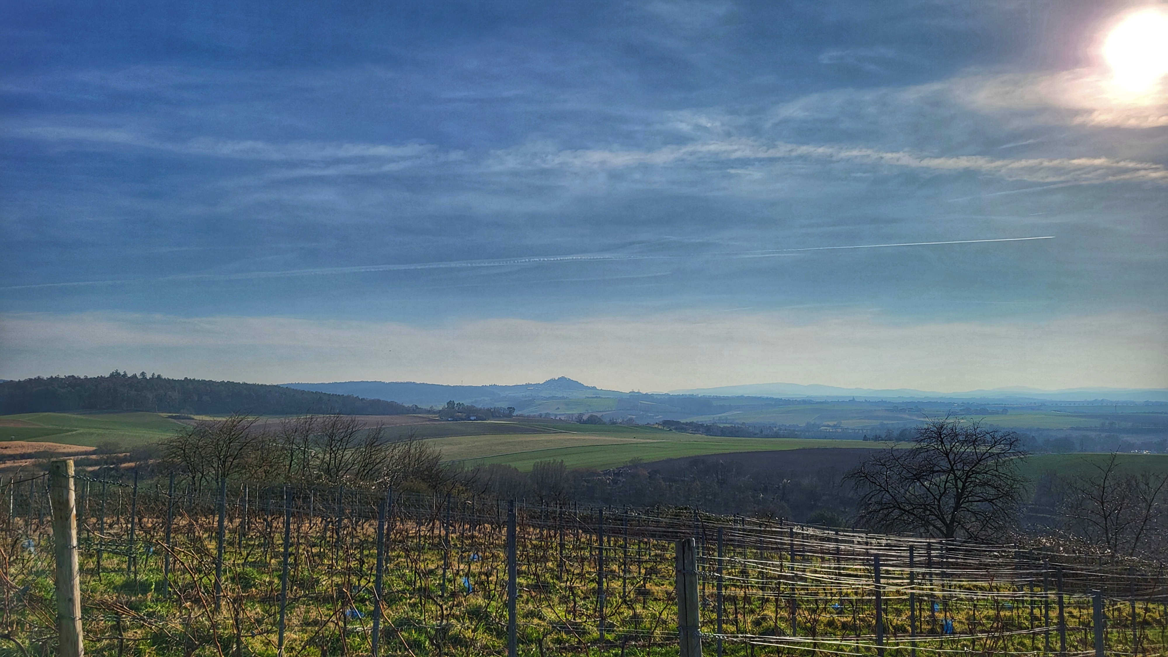
Endlich mal wieder auf dem Mountainbike unterwegs. Über den Geisrain geht es durch die MEDIAN Klinik hoch zur Konfirmanden Buche mit ihren beiden Grenzsteinen. Nun in Richtung Kirschgarten. Von hier hat man einen schönen Blick rüber in den Spessart. Nun eine Abfahrt nach Wald-Amorbach und gleich wieder hoch zum Buchwaldsfeld. Nach einem kurzen Stück Frankfurter Straße dann am Bocksberg vorbei hinunter in den Kellergrund. Kurz vor Heubach dann hoch zum Tannenberg und über den Hirsenberg und den Schorschberg wieder heim. #noebike
- -:--
- Duration
- 25.4 km
- Distance
- 789 m
- Ascent
- 785 m
- Descent
- ---
- Avg. speed
- ---
- Avg. speed

Route photos


Route quality
Waytypes & surfaces along the route
Waytypes
Track
21 km
(83 %)
Quiet road
2.7 km
(11 %)
Surfaces
Paved
0.3 km
(1 %)
Unpaved
21 km
(83 %)
Gravel
7.5 km
(29 %)
Unpaved (undefined)
7 km
(27 %)
Continue with Bikemap
Use, edit, or download this cycling route
You would like to ride Zur Konfirmanden Buche und in den Kellergrund or customize it for your own trip? Here is what you can do with this Bikemap route:
Free features
- Save this route as favorite or in collections
- Copy & plan your own version of this route
- Sync your route with Garmin or Wahoo
Premium features
Free trial for 3 days, or one-time payment. More about Bikemap Premium.
- Navigate this route on iOS & Android
- Export a GPX / KML file of this route
- Create your custom printout (try it for free)
- Download this route for offline navigation
Discover more Premium features.
Get Bikemap PremiumFrom our community
Other popular routes starting in Höchst im Odenwald
 zum Biergarten nach Umscht
- Distance
- 30.8 km
- Ascent
- 470 m
- Descent
- 465 m
- Location
- Höchst im Odenwald, Hesse, Germany
 3 Brunnen Runde
- Distance
- 31.2 km
- Ascent
- 441 m
- Descent
- 437 m
- Location
- Höchst im Odenwald, Hesse, Germany
 Eiserner Pfahl und Weihnachtsklappbrot der achtzehnte in 2024
- Distance
- 34.1 km
- Ascent
- 598 m
- Descent
- 602 m
- Location
- Höchst im Odenwald, Hesse, Germany
 über die Hohe Straße
- Distance
- 25.3 km
- Ascent
- 377 m
- Descent
- 373 m
- Location
- Höchst im Odenwald, Hesse, Germany
 zum Obernburger Waldhaus
- Distance
- 35.6 km
- Ascent
- 327 m
- Descent
- 324 m
- Location
- Höchst im Odenwald, Hesse, Germany
 Toter Mann - Kimbach - Bad König
- Distance
- 35.6 km
- Ascent
- 608 m
- Descent
- 607 m
- Location
- Höchst im Odenwald, Hesse, Germany
 Wald-Amorbach Runde
- Distance
- 21.8 km
- Ascent
- 579 m
- Descent
- 580 m
- Location
- Höchst im Odenwald, Hesse, Germany
 über den Otzberg nach Groß-Umstadt
- Distance
- 39.7 km
- Ascent
- 562 m
- Descent
- 562 m
- Location
- Höchst im Odenwald, Hesse, Germany
Open it in the app