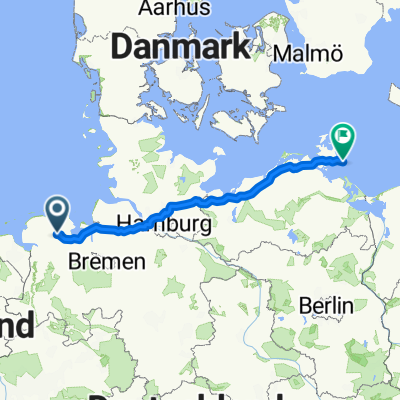
Radtour 2010
A cycling route starting in Friedeburg, Lower Saxony, Germany.
Overview
About this route
- -:--
- Duration
- 36 km
- Distance
- 55 m
- Ascent
- 56 m
- Descent
- ---
- Avg. speed
- ---
- Max. altitude
Route quality
Waytypes & surfaces along the route
Waytypes
Quiet road
20.1 km
(56 %)
Path
7.2 km
(20 %)
Surfaces
Paved
23.4 km
(65 %)
Unpaved
2.2 km
(6 %)
Asphalt
17.6 km
(49 %)
Paved (undefined)
3.6 km
(10 %)
Route highlights
Points of interest along the route
Point of interest after 0 km
start
Point of interest after 10.6 km
Mittagspause Zum braunen Hirsch
Point of interest after 18.7 km
Pause Dorfkrug Coordes
Point of interest after 23.8 km
Pause am See
Point of interest after 25.7 km
Pause Rosenhof
Continue with Bikemap
Use, edit, or download this cycling route
You would like to ride Radtour 2010 or customize it for your own trip? Here is what you can do with this Bikemap route:
Free features
- Save this route as favorite or in collections
- Copy & plan your own version of this route
- Sync your route with Garmin or Wahoo
Premium features
Free trial for 3 days, or one-time payment. More about Bikemap Premium.
- Navigate this route on iOS & Android
- Export a GPX / KML file of this route
- Create your custom printout (try it for free)
- Download this route for offline navigation
Discover more Premium features.
Get Bikemap PremiumFrom our community
Other popular routes starting in Friedeburg
Route in Friedeburg- Distance
- 66.4 km
- Ascent
- 58 m
- Descent
- 58 m
- Location
- Friedeburg, Lower Saxony, Germany
Wiesmoor- Distance
- 45.3 km
- Ascent
- 139 m
- Descent
- 142 m
- Location
- Friedeburg, Lower Saxony, Germany
Rundkurs 61km- Distance
- 60.7 km
- Ascent
- 72 m
- Descent
- 72 m
- Location
- Friedeburg, Lower Saxony, Germany
Radtour 2010- Distance
- 36 km
- Ascent
- 55 m
- Descent
- 56 m
- Location
- Friedeburg, Lower Saxony, Germany
Wiesede, Göhren- Distance
- 504.4 km
- Ascent
- 1,737 m
- Descent
- 1,708 m
- Location
- Friedeburg, Lower Saxony, Germany
Möhleneck 2, Friedeburg nach Carl-Benz-Straße 11, Westerstede- Distance
- 100 km
- Ascent
- 1,024 m
- Descent
- 1,023 m
- Location
- Friedeburg, Lower Saxony, Germany
D - Friedeburg - Auf nach Jever - 42 km- Distance
- 41.5 km
- Ascent
- 84 m
- Descent
- 82 m
- Location
- Friedeburg, Lower Saxony, Germany
Ems-Jade-Kanal - Aurich- Distance
- 62.2 km
- Ascent
- 32 m
- Descent
- 32 m
- Location
- Friedeburg, Lower Saxony, Germany
Open it in the app

