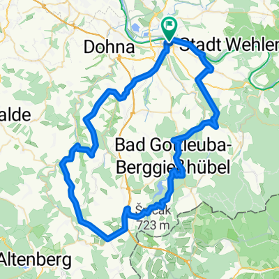
Bärenstein-05-670hm
- 30.8 km
- 0 m
- 0 m
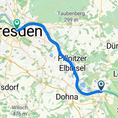
- Pirna, Saxony, Germany
A cycling route starting in Pirna, Saxony, Germany.
Overview
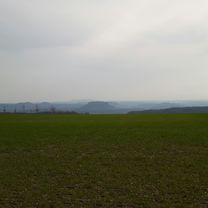
At the bottom, the forest ground with protruding path reinforcements, you have to be a bit careful.
created this 15 years ago
Continue with Bikemap
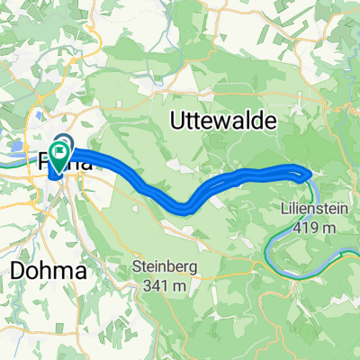
You would like to ride durch den Uttewalder Grund or customize it for your own trip? Here is what you can do with this Bikemap route:
Free trial for 3 days, or one-time payment. More about Bikemap Premium.
Discover more Premium features.
Get Bikemap PremiumFrom our community
Open it in the app