
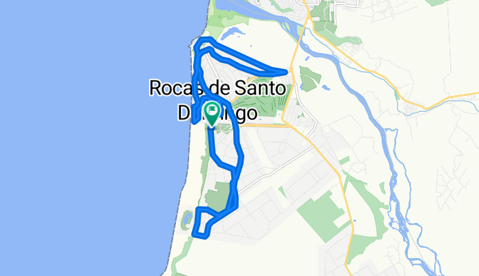
Las Violetas 88–120, Santo Domingo to Las Violetas 88–120, Santo Domingo
A cycling route starting in San Antonio, Región de Valparaíso, Chile.
Overview
About this route
- 59 min
- Duration
- 17.4 km
- Distance
- 152 m
- Ascent
- 150 m
- Descent
- 17.7 km/h
- Avg. speed
- ---
- Max. altitude

Continue with Bikemap
Use, edit, or download this cycling route
You would like to ride Las Violetas 88–120, Santo Domingo to Las Violetas 88–120, Santo Domingo or customize it for your own trip? Here is what you can do with this Bikemap route:
Free features
- Save this route as favorite or in collections
- Copy & plan your own version of this route
- Sync your route with Garmin or Wahoo
Premium features
Free trial for 3 days, or one-time payment. More about Bikemap Premium.
- Navigate this route on iOS & Android
- Export a GPX / KML file of this route
- Create your custom printout (try it for free)
- Download this route for offline navigation
Discover more Premium features.
Get Bikemap PremiumFrom our community
Other popular routes starting in San Antonio
 El Convento - Los Molles
- Distance
- 25.3 km
- Ascent
- 203 m
- Descent
- 203 m
- Location
- San Antonio, Región de Valparaíso, Chile
 De Arzobispo Casanova 293, San Antonio a Arzobispo Casanova 293, San Antonio
- Distance
- 22.4 km
- Ascent
- 532 m
- Descent
- 530 m
- Location
- San Antonio, Región de Valparaíso, Chile
 De Nuevo Acceso al Puerto, San Antonio a José Ángel Ortúzar 990, San Antonio
- Distance
- 9.6 km
- Ascent
- 130 m
- Descent
- 176 m
- Location
- San Antonio, Región de Valparaíso, Chile
 De San Antonio a Walker Martínez 885, San Antonio
- Distance
- 21.9 km
- Ascent
- 611 m
- Descent
- 661 m
- Location
- San Antonio, Región de Valparaíso, Chile
 Las Violetas 88–120, Santo Domingo to Las Violetas 88–120, Santo Domingo
- Distance
- 17.4 km
- Ascent
- 152 m
- Descent
- 150 m
- Location
- San Antonio, Región de Valparaíso, Chile
 Ruta del Tsunami
- Distance
- 890.1 km
- Ascent
- 2,388 m
- Descent
- 2,383 m
- Location
- San Antonio, Región de Valparaíso, Chile
 De Arzobispo Casanova 296, San Antonio a Walker Martínez 885, San Antonio
- Distance
- 27.9 km
- Ascent
- 770 m
- Descent
- 765 m
- Location
- San Antonio, Región de Valparaíso, Chile
 De Pasaje Dos 66, San Antonio a General Manuel Baquedano 2320, San Antonio
- Distance
- 32.7 km
- Ascent
- 830 m
- Descent
- 815 m
- Location
- San Antonio, Región de Valparaíso, Chile
Open it in the app