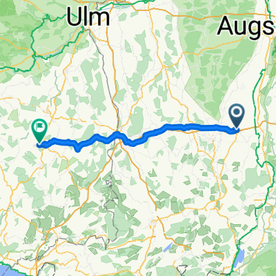
Paartal Radweg (2 Tg)
A cycling route starting in Buchloe, Bavaria, Germany.
Overview
About this route
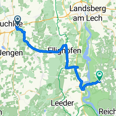
The Paartal cycle path follows the course of the river from its source at St. Ottilien (exactly km 9 near Kaltenberg) of our tour. The source is inconspicuous and only accessible on foot. Until it flows into the Danube, the cycle path thus connects the Ammersee cycle path with the Danube cycle path. (Tour description at: thod_er@gmx.de)
- -:--
- Duration
- 151.3 km
- Distance
- 699 m
- Ascent
- 950 m
- Descent
- ---
- Avg. speed
- ---
- Max. altitude
Route quality
Waytypes & surfaces along the route
Waytypes
Quiet road
59 km
(39 %)
Track
33.3 km
(22 %)
Surfaces
Paved
118 km
(78 %)
Unpaved
19.7 km
(13 %)
Asphalt
115 km
(76 %)
Gravel
7.6 km
(5 %)
Continue with Bikemap
Use, edit, or download this cycling route
You would like to ride Paartal Radweg (2 Tg) or customize it for your own trip? Here is what you can do with this Bikemap route:
Free features
- Save this route as favorite or in collections
- Copy & plan your own version of this route
- Split it into stages to create a multi-day tour
- Sync your route with Garmin or Wahoo
Premium features
Free trial for 3 days, or one-time payment. More about Bikemap Premium.
- Navigate this route on iOS & Android
- Export a GPX / KML file of this route
- Create your custom printout (try it for free)
- Download this route for offline navigation
Discover more Premium features.
Get Bikemap PremiumFrom our community
Other popular routes starting in Buchloe
- Kleine Seen-Runde
- Distance
- 36 km
- Ascent
- 100 m
- Descent
- 101 m
- Location
- Buchloe, Bavaria, Germany
- Buchloe Stadtbergen Wertach
- Distance
- 52.6 km
- Ascent
- 105 m
- Descent
- 237 m
- Location
- Buchloe, Bavaria, Germany
- Monika-Krusche-Gedächtnistour
- Distance
- 65.9 km
- Ascent
- 532 m
- Descent
- 351 m
- Location
- Buchloe, Bavaria, Germany
- Buchloe-Bad Wörishofen
- Distance
- 64 km
- Ascent
- 283 m
- Descent
- 286 m
- Location
- Buchloe, Bavaria, Germany
- Paartal Radweg (2 Tg)
- Distance
- 151.3 km
- Ascent
- 699 m
- Descent
- 950 m
- Location
- Buchloe, Bavaria, Germany
- Wiedergeltingen-Stockheim-Weinhausen-Lindenberg
- Distance
- 21.7 km
- Ascent
- 54 m
- Descent
- 52 m
- Location
- Buchloe, Bavaria, Germany
- Von Buchloe um Bad Wörishofen 1
- Distance
- 48.1 km
- Ascent
- 147 m
- Descent
- 147 m
- Location
- Buchloe, Bavaria, Germany
- Buchloe-Neugablonz
- Distance
- 60.1 km
- Ascent
- 438 m
- Descent
- 438 m
- Location
- Buchloe, Bavaria, Germany
Open it in the app