

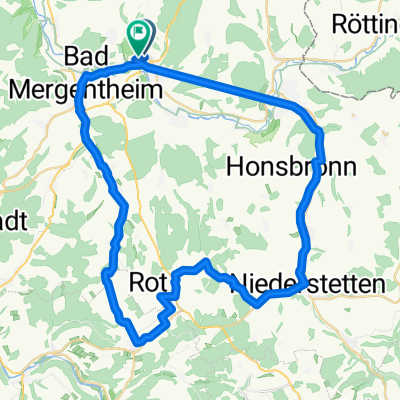
Markelsheim-Aub-Creglingen
A cycling route starting in Igersheim, Baden-Wurttemberg, Germany.
Overview
About this route
Von Markelsheim bis Röttingen - Liebliches Taubertal von Röttingen bis Aub - Gaubahnradweg von Aub bis Creglingen - Liebliches Taubertal Erlebnistour 11
von Creglingen bis Markelsheim Liebliches Taubertal
vo
- -:--
- Duration
- 50.3 km
- Distance
- 321 m
- Ascent
- 306 m
- Descent
- ---
- Avg. speed
- ---
- Max. altitude

Route quality
Waytypes & surfaces along the route
Waytypes
Track
16.1 km
(32 %)
Quiet road
12.6 km
(25 %)
Surfaces
Paved
36.2 km
(72 %)
Unpaved
5 km
(10 %)
Asphalt
32.7 km
(65 %)
Paved (undefined)
3.5 km
(7 %)
Continue with Bikemap
Use, edit, or download this cycling route
You would like to ride Markelsheim-Aub-Creglingen or customize it for your own trip? Here is what you can do with this Bikemap route:
Free features
- Save this route as favorite or in collections
- Copy & plan your own version of this route
- Sync your route with Garmin or Wahoo
Premium features
Free trial for 3 days, or one-time payment. More about Bikemap Premium.
- Navigate this route on iOS & Android
- Export a GPX / KML file of this route
- Create your custom printout (try it for free)
- Download this route for offline navigation
Discover more Premium features.
Get Bikemap PremiumFrom our community
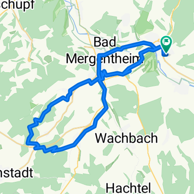
Other popular routes starting in Igersheim
 Hauptstraße 39, Bad Mergentheim nach Hauptstraße 42, Bad Mergentheim
- Distance
- 0.2 km
- Ascent
- 0 m
- Descent
- 0 m
- Location
- Igersheim, Baden-Wurttemberg, Germany
 Biketour6
- Distance
- 25 km
- Ascent
- 330 m
- Descent
- 330 m
- Location
- Igersheim, Baden-Wurttemberg, Germany
 Cross Skating Tour
- Distance
- 42.4 km
- Ascent
- 441 m
- Descent
- 440 m
- Location
- Igersheim, Baden-Wurttemberg, Germany
 Odenwaldstraße nach Odenwaldstraße
- Distance
- 49.9 km
- Ascent
- 437 m
- Descent
- 489 m
- Location
- Igersheim, Baden-Wurttemberg, Germany
 Eichwaldstraße 6, Igersheim nach Eichwaldstraße 6, Igersheim
- Distance
- 29.5 km
- Ascent
- 421 m
- Descent
- 422 m
- Location
- Igersheim, Baden-Wurttemberg, Germany
 Markelsheim-Wertheim
- Distance
- 55.3 km
- Ascent
- 118 m
- Descent
- 195 m
- Location
- Igersheim, Baden-Wurttemberg, Germany
 Markelsheim_Rothenburg_OT.gpx
- Distance
- 46 km
- Ascent
- 828 m
- Descent
- 622 m
- Location
- Igersheim, Baden-Wurttemberg, Germany
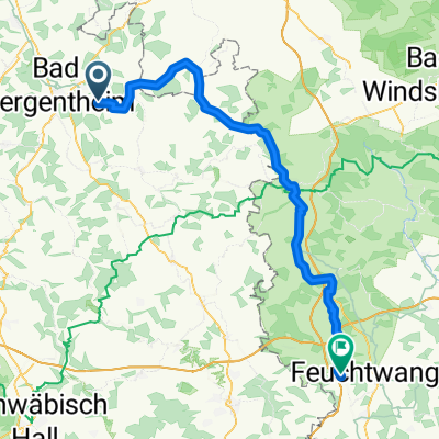 Igersheim - Feuchtwangen
- Distance
- 73.5 km
- Ascent
- 943 m
- Descent
- 712 m
- Location
- Igersheim, Baden-Wurttemberg, Germany
Open it in the app