
Holz
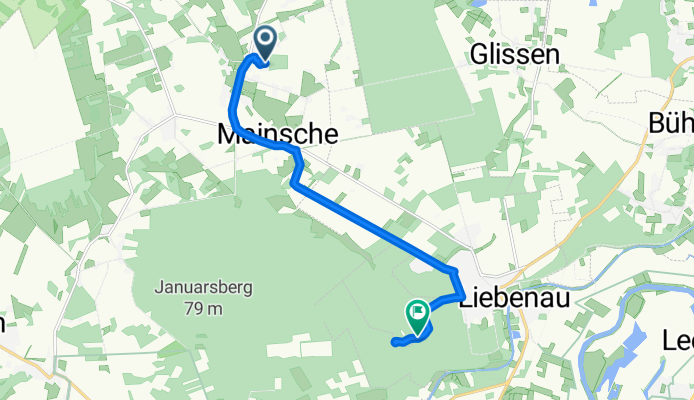
A cycling route starting in Pennigsehl, Lower Saxony, Germany.
Overview
About this route
- 20 min
- Duration
- 9.5 km
- Distance
- 30 m
- Ascent
- 55 m
- Descent
- 28.1 km/h
- Avg. speed
- ---
- Avg. speed
Route quality
Waytypes & surfaces along the route
Waytypes
Road
2.8 km
(30 %)
Quiet road
2.8 km
(29 %)
Surfaces
Paved
3.9 km
(41 %)
Asphalt
3.6 km
(38 %)
Paving stones
0.3 km
(3 %)
Undefined
5.6 km
(59 %)
Continue with Bikemap
Use, edit, or download this cycling route
You would like to ride Holz or customize it for your own trip? Here is what you can do with this Bikemap route:
Free features
- Save this route as favorite or in collections
- Copy & plan your own version of this route
- Sync your route with Garmin or Wahoo
Premium features
Free trial for 3 days, or one-time payment. More about Bikemap Premium.
- Navigate this route on iOS & Android
- Export a GPX / KML file of this route
- Create your custom printout (try it for free)
- Download this route for offline navigation
Discover more Premium features.
Get Bikemap PremiumFrom our community
Other popular routes starting in Pennigsehl
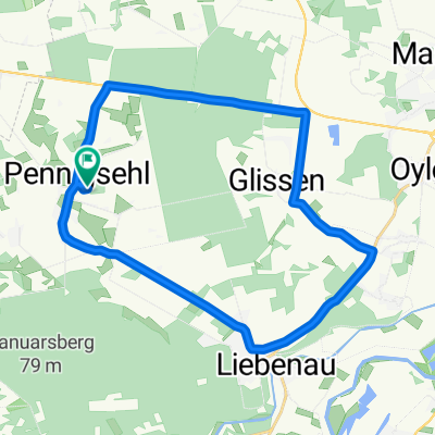
 Radtour ab Pennigsehl
- Distance
- 27.2 km
- Ascent
- 82 m
- Descent
- 53 m
- Location
- Pennigsehl, Lower Saxony, Germany
 Gerade Fahrt in Bruchhausen-Vilsen
- Distance
- 26.6 km
- Ascent
- 545 m
- Descent
- 528 m
- Location
- Pennigsehl, Lower Saxony, Germany
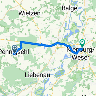
 Hauptstraße 16A, Pennigsehl nach Hauptstraße 16A, Pennigsehl
- Distance
- 3.9 km
- Ascent
- 4 m
- Descent
- 3 m
- Location
- Pennigsehl, Lower Saxony, Germany
 Knackige Fahrt in Pennigsehl
- Distance
- 22.7 km
- Ascent
- 72 m
- Descent
- 77 m
- Location
- Pennigsehl, Lower Saxony, Germany
 Einladung
- Distance
- 30.5 km
- Ascent
- 149 m
- Descent
- 156 m
- Location
- Pennigsehl, Lower Saxony, Germany
 Foßkampstraße 9, Wietzen nach Miquelstraße 34, Osnabrück
- Distance
- 98 km
- Ascent
- 339 m
- Descent
- 327 m
- Location
- Pennigsehl, Lower Saxony, Germany
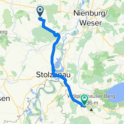
 Überschallgeschwindigkeitsfahrt in Nienburg (Weser)
- Distance
- 17.2 km
- Ascent
- 60 m
- Descent
- 88 m
- Location
- Pennigsehl, Lower Saxony, Germany
 Recovered Route
- Distance
- 32.9 km
- Ascent
- 110 m
- Descent
- 71 m
- Location
- Pennigsehl, Lower Saxony, Germany
Open it in the app