LeBousquet
- 116.1 km
- 2,378 m
- 2,357 m
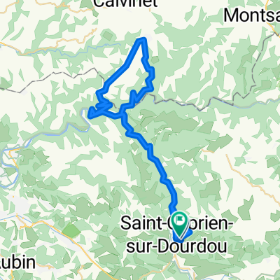
- Saint-Christophe-Vallon, Occitanie, France
A cycling route starting in Saint-Christophe-Vallon, Occitanie, France.
Overview
created this 6 years ago
Route quality
Road
10.2 km
17 %
Quiet road
3 km
5 %
Paved
37.3 km
(62 %)
Asphalt
37.3 km
62 %
Undefined
22.9 km
38 %
Continue with Bikemap
You would like to ride StGeniez or customize it for your own trip? Here is what you can do with this Bikemap route:
Free trial for 3 days, or one-time payment. More about Bikemap Premium.
Discover more Premium features.
Get Bikemap PremiumFrom our community
Open it in the app