Palacyki mysliwskie
- 82.2 km
- 188 m
- 170 m
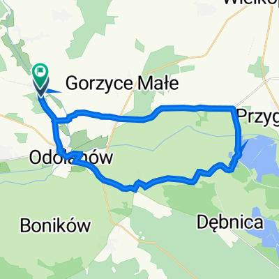
- Odolanów, Greater Poland Voivodeship, Poland
A cycling route starting in Odolanów, Greater Poland Voivodeship, Poland.
Overview
created this 15 years ago
Route quality
Road
28 km
(34 %)
Track
15.6 km
(19 %)
Paved
47.7 km
(58 %)
Unpaved
3.3 km
(4 %)
Asphalt
46.9 km
(57 %)
Ground
3.3 km
(4 %)
Route highlights
Boników (drewniany krzyż z rzeźbami P.Brylińskiego)
Garki (prywatne muzeum etnograficzne)
Możdżanów (dwór myśliwski, dąb Jan, hodowla dzików)
Moja Wola (pałac obłożony korą dębu, park, stanica turystyczna, pomniki przyrody)
Czarnylas (izba pamięci, kościół z rudy darniowej, dawna kaplica baptystów, kościół poewangelicki)
Antonin (pałac myśliwski, neoromański kościół, rezerwat przyrody „Wydymacz”, pomniki przyrody, dęby, izba edukacyjna LKP, ośrodek wypoczynkowy)
Continue with Bikemap
You would like to ride Palacyki mysliwskie or customize it for your own trip? Here is what you can do with this Bikemap route:
Free trial for 3 days, or one-time payment. More about Bikemap Premium.
Discover more Premium features.
Get Bikemap PremiumFrom our community
Open it in the app