
Day One
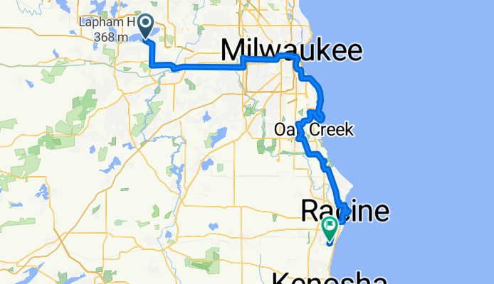
A cycling route starting in Pewaukee, Wisconsin, United States.
Overview
About this route
Waukesha, Milwaukee, and Racine
- -:--
- Duration
- 111 km
- Distance
- 166 m
- Ascent
- 237 m
- Descent
- ---
- Avg. speed
- ---
- Max. altitude

Route quality
Waytypes & surfaces along the route
Waytypes
Path
48.8 km
(44 %)
Cycleway
21.1 km
(19 %)
Surfaces
Paved
66.6 km
(60 %)
Unpaved
8.9 km
(8 %)
Asphalt
54.4 km
(49 %)
Gravel
8.9 km
(8 %)
Route highlights
Points of interest along the route
Point of interest after 29.9 km
Bar with two pool tables
Point of interest after 47.7 km
Bar with semi-private pool table
Point of interest after 50.7 km
Straight Shots Pool Hall
Point of interest after 94.2 km
Outbreak Billiards Hall
Point of interest after 104.8 km
Restaurant called "Russ's"
Point of interest after 106.9 km
Break & Run Billiards Hall
Continue with Bikemap
Use, edit, or download this cycling route
You would like to ride Day One or customize it for your own trip? Here is what you can do with this Bikemap route:
Free features
- Save this route as favorite or in collections
- Copy & plan your own version of this route
- Split it into stages to create a multi-day tour
- Sync your route with Garmin or Wahoo
Premium features
Free trial for 3 days, or one-time payment. More about Bikemap Premium.
- Navigate this route on iOS & Android
- Export a GPX / KML file of this route
- Create your custom printout (try it for free)
- Download this route for offline navigation
Discover more Premium features.
Get Bikemap PremiumFrom our community
Other popular routes starting in Pewaukee
 MY MAP
- Distance
- 976.2 km
- Ascent
- 383 m
- Descent
- 499 m
- Location
- Pewaukee, Wisconsin, United States
 Day One
- Distance
- 111 km
- Ascent
- 166 m
- Descent
- 237 m
- Location
- Pewaukee, Wisconsin, United States
 Recovered Route
- Distance
- 10.7 km
- Ascent
- 87 m
- Descent
- 94 m
- Location
- Pewaukee, Wisconsin, United States
 Home to work
- Distance
- 10.9 km
- Ascent
- 32 m
- Descent
- 39 m
- Location
- Pewaukee, Wisconsin, United States
 2700 Golf Rd, Waukesha to 2700 Golf Rd, Waukesha
- Distance
- 15.8 km
- Ascent
- 105 m
- Descent
- 105 m
- Location
- Pewaukee, Wisconsin, United States
 Lake Country Recreational Trail
- Distance
- 23.9 km
- Ascent
- 116 m
- Descent
- 117 m
- Location
- Pewaukee, Wisconsin, United States
 MAP MAP
- Distance
- 694.1 km
- Ascent
- 705 m
- Descent
- 528 m
- Location
- Pewaukee, Wisconsin, United States
 ba-scenic_foxbrook
- Distance
- 17.1 km
- Ascent
- 41 m
- Descent
- 41 m
- Location
- Pewaukee, Wisconsin, United States
Open it in the app