

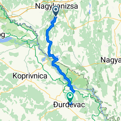
Giro Népszerűsítő túra - Fánkfesztivál
A cycling route starting in Nagykanizsa, Zala County, Hungary.
Overview
About this route
2020.02.22
- -:--
- Duration
- 83.6 km
- Distance
- 442 m
- Ascent
- 440 m
- Descent
- ---
- Avg. speed
- ---
- Max. altitude

Route quality
Waytypes & surfaces along the route
Waytypes
Quiet road
11.7 km
(14 %)
Cycleway
5.9 km
(7 %)
Surfaces
Paved
51.9 km
(62 %)
Asphalt
51.9 km
(62 %)
Undefined
31.8 km
(38 %)
Continue with Bikemap
Use, edit, or download this cycling route
You would like to ride Giro Népszerűsítő túra - Fánkfesztivál or customize it for your own trip? Here is what you can do with this Bikemap route:
Free features
- Save this route as favorite or in collections
- Copy & plan your own version of this route
- Split it into stages to create a multi-day tour
- Sync your route with Garmin or Wahoo
Premium features
Free trial for 3 days, or one-time payment. More about Bikemap Premium.
- Navigate this route on iOS & Android
- Export a GPX / KML file of this route
- Create your custom printout (try it for free)
- Download this route for offline navigation
Discover more Premium features.
Get Bikemap PremiumFrom our community
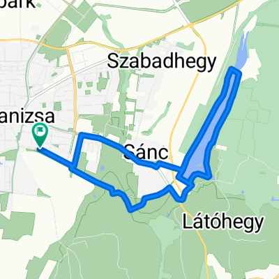
Other popular routes starting in Nagykanizsa
 Nagykanizsa-Milánó 2023
- Distance
- 900.9 km
- Ascent
- 4,743 m
- Descent
- 4,759 m
- Location
- Nagykanizsa, Zala County, Hungary
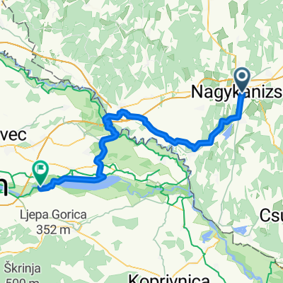
 Nagykanizsa - Kalinovac
- Distance
- 58 km
- Ascent
- 171 m
- Descent
- 217 m
- Location
- Nagykanizsa, Zala County, Hungary
 MURA_Kanizsa_50
- Distance
- 49.6 km
- Ascent
- 178 m
- Descent
- 178 m
- Location
- Nagykanizsa, Zala County, Hungary
 Bagolai sor, Nagykanizsa - Bagolai sor, Nagykanizsa
- Distance
- 15.9 km
- Ascent
- 77 m
- Descent
- 79 m
- Location
- Nagykanizsa, Zala County, Hungary
 Obornak_Várdomb
- Distance
- 3.7 km
- Ascent
- 136 m
- Descent
- 8 m
- Location
- Nagykanizsa, Zala County, Hungary
 From Nagykanizsa to Sveta Marija
- Distance
- 63.9 km
- Ascent
- 138 m
- Descent
- 151 m
- Location
- Nagykanizsa, Zala County, Hungary
 Mórichelyi kör
- Distance
- 31 km
- Ascent
- 402 m
- Descent
- 402 m
- Location
- Nagykanizsa, Zala County, Hungary
 Murafölde kör 3
- Distance
- 219.8 km
- Ascent
- 2,889 m
- Descent
- 2,891 m
- Location
- Nagykanizsa, Zala County, Hungary
Open it in the app