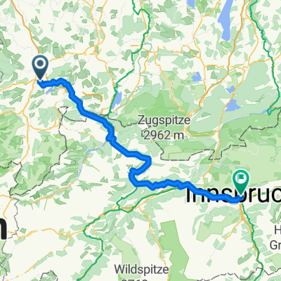
Tannheimer Tal - Oberjoch
A cycling route starting in Sulzberg, Bavaria, Germany.
Overview
About this route
- -:--
- Duration
- 106.6 km
- Distance
- 854 m
- Ascent
- 852 m
- Descent
- ---
- Avg. speed
- ---
- Avg. speed
Route quality
Waytypes & surfaces along the route
Waytypes
Busy road
57.2 km
(54 %)
Road
14.7 km
(14 %)
Surfaces
Paved
87.5 km
(82 %)
Unpaved
1 km
(<1 %)
Asphalt
85.9 km
(81 %)
Paved (undefined)
1.3 km
(1 %)
Continue with Bikemap
Use, edit, or download this cycling route
You would like to ride Tannheimer Tal - Oberjoch or customize it for your own trip? Here is what you can do with this Bikemap route:
Free features
- Save this route as favorite or in collections
- Copy & plan your own version of this route
- Sync your route with Garmin or Wahoo
Premium features
Free trial for 3 days, or one-time payment. More about Bikemap Premium.
- Navigate this route on iOS & Android
- Export a GPX / KML file of this route
- Create your custom printout (try it for free)
- Download this route for offline navigation
Discover more Premium features.
Get Bikemap PremiumFrom our community
Other popular routes starting in Sulzberg
- Sulzberg-Römerhaus-Hasenried-Aleuthe-Sulzberg
- Distance
- 6.1 km
- Ascent
- 209 m
- Descent
- 208 m
- Location
- Sulzberg, Bavaria, Germany
- Um den Rottachsee über Berg und Tal
- Distance
- 30.8 km
- Ascent
- 524 m
- Descent
- 524 m
- Location
- Sulzberg, Bavaria, Germany
- Sulzberger See-Elleghöhe-Königssträßchen-Niedersonthofen-Hellengerst-Martinszell
- Distance
- 87.2 km
- Ascent
- 1,052 m
- Descent
- 1,052 m
- Location
- Sulzberg, Bavaria, Germany
- Riedis
- Distance
- 4.7 km
- Ascent
- 94 m
- Descent
- 86 m
- Location
- Sulzberg, Bavaria, Germany
- Tannheimer Tal - Oberjoch
- Distance
- 106.6 km
- Ascent
- 854 m
- Descent
- 852 m
- Location
- Sulzberg, Bavaria, Germany
- Camping Dopfer/Sulzberger See - Füssen
- Distance
- 43.2 km
- Ascent
- 459 m
- Descent
- 360 m
- Location
- Sulzberg, Bavaria, Germany
- Rottachsee-Obersdorf-Rottachsee
- Distance
- 71.5 km
- Ascent
- 834 m
- Descent
- 834 m
- Location
- Sulzberg, Bavaria, Germany
- Rottach-Grüntensee-Rundtour
- Distance
- 51.7 km
- Ascent
- 561 m
- Descent
- 561 m
- Location
- Sulzberg, Bavaria, Germany
Open it in the app