newest most awesomest way to work
- 22.2 km
- 97 m
- 75 m
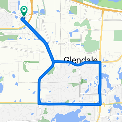
- Savage, Minnesota, United States
A cycling route starting in Savage, Minnesota, United States.
Overview
This route uses the bike trail through Hyland Park Reserve and along E. Bush Lake Rd to get between QBP and Crowne Plaza Hotel on American Blvd West
Continue with Bikemap
You would like to ride QBP to Crowne Plaza or customize it for your own trip? Here is what you can do with this Bikemap route:
Free trial for 3 days, or one-time payment. More about Bikemap Premium.
Discover more Premium features.
Get Bikemap PremiumFrom our community
Open it in the app