

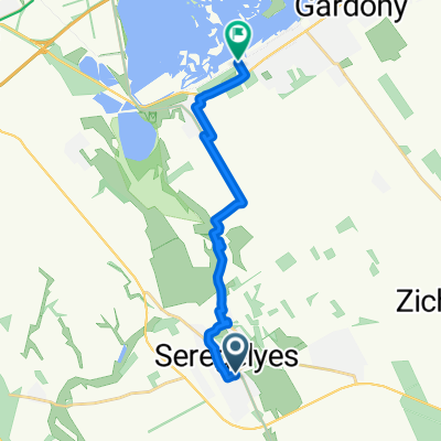
Dinnyés - Csiribpuszta - Agárd - Dinnyés
A cycling route starting in Seregélyes, Fejér, Hungary.
Overview
About this route
- -:--
- Duration
- 18.6 km
- Distance
- 47 m
- Ascent
- 50 m
- Descent
- ---
- Avg. speed
- ---
- Max. altitude

Route quality
Waytypes & surfaces along the route
Waytypes
Quiet road
8.2 km
(44 %)
Cycleway
5.8 km
(31 %)
Surfaces
Paved
17.3 km
(93 %)
Unpaved
0.2 km
(<1 %)
Asphalt
8.7 km
(47 %)
Paved (undefined)
8 km
(43 %)
Continue with Bikemap
Use, edit, or download this cycling route
You would like to ride Dinnyés - Csiribpuszta - Agárd - Dinnyés or customize it for your own trip? Here is what you can do with this Bikemap route:
Free features
- Save this route as favorite or in collections
- Copy & plan your own version of this route
- Sync your route with Garmin or Wahoo
Premium features
Free trial for 3 days, or one-time payment. More about Bikemap Premium.
- Navigate this route on iOS & Android
- Export a GPX / KML file of this route
- Create your custom printout (try it for free)
- Download this route for offline navigation
Discover more Premium features.
Get Bikemap PremiumFrom our community
Other popular routes starting in Seregélyes
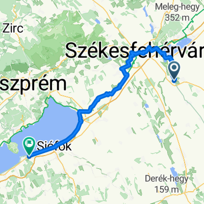
 Seregélyes-Tihany
- Distance
- 90.5 km
- Ascent
- 381 m
- Descent
- 385 m
- Location
- Seregélyes, Fejér, Hungary
 Templom köz, Seregélyes nach Chernel István utca, Gárdony
- Distance
- 13.8 km
- Ascent
- 28 m
- Descent
- 31 m
- Location
- Seregélyes, Fejér, Hungary
 Dinnyés - Csiribpuszta - Agárd - Dinnyés
- Distance
- 18.6 km
- Ascent
- 47 m
- Descent
- 50 m
- Location
- Seregélyes, Fejér, Hungary
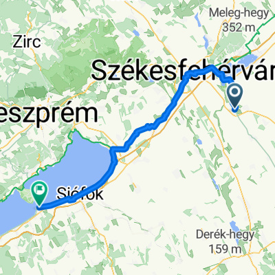
 Polgárdi - Balatonboglár
- Distance
- 93.1 km
- Ascent
- 360 m
- Descent
- 364 m
- Location
- Seregélyes, Fejér, Hungary
 Börgönd Vásárhelyi utca
- Distance
- 11.2 km
- Ascent
- 25 m
- Descent
- 38 m
- Location
- Seregélyes, Fejér, Hungary
 holnapi tréning
- Distance
- 33.3 km
- Ascent
- 194 m
- Descent
- 152 m
- Location
- Seregélyes, Fejér, Hungary
 Polgárdi - Balatonboglár
- Distance
- 88.9 km
- Ascent
- 350 m
- Descent
- 353 m
- Location
- Seregélyes, Fejér, Hungary
 Route from 62, Seregélyes
- Distance
- 2,157.1 km
- Ascent
- 19 m
- Descent
- 0 m
- Location
- Seregélyes, Fejér, Hungary
Open it in the app